Historic features found along the old paths
Cellar holes, stone walls, steps, bridges, quarries, mill dams, cemeteries and boundary markers, each recorded with a handheld GPS and a note written on the spot. Search them, filter by type or area, and open any one on the Atlas.
Types are assigned automatically from the GPS symbol and the words in each field note, so a few points may sit under the wrong heading. Route and mapping notes are left out; natural landmarks such as caves and overlooks can be shown with the switch below.
Lectures by Terese Miller
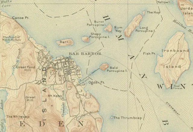
Recorded history talks by the Mount Desert Island historian and guide: the women of Acadia, Bar Harbor's pest houses, Bar Island, the island's mills, the Quiet Side's sardine canneries and the Heath family of Seal Cove.
See the programme →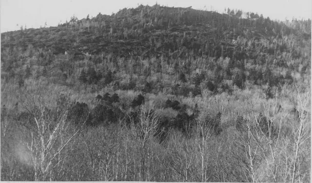
After the Fire of '47
How one October remade Acadia: the Park Service's day-by-day burn map laid over the Atlas trails, what the fire destroyed in the park, the cleanup roads and firebreaks still in the woods, and the birch and aspen forest that grew back.
Read the story →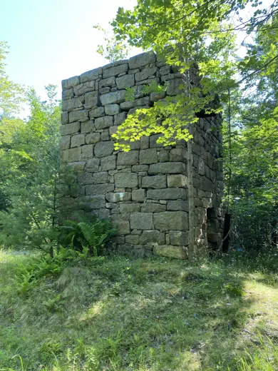
The Bar Harbor Water Company
From a typhoid outbreak in 1873 to the land that became Acadia National Park: the stone tower, dams, filters and tanks between Eagle Lake and the village, with old photographs and a map of every point.
Read the story →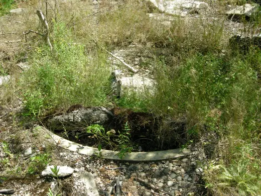
From Golden Age to Lost Remains
The Archbold and Rowell estates on Cleftstone Road: Anne Archbold's 1904 Italian villa and the Rowells' Barberry Ledge, from the 1902 deeds to the 1947 fire and the park, with fountains, foundations and boundary stones found in 2009 and the old paths of Great Hill.
Read the story →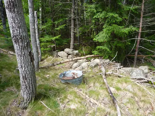
The Pest Houses of Bar Harbor
Three isolation hospitals between 1895 and 1947, found again from deeds and old newspapers: foundations, a well, enamel pots and buckets, with a map of every point.
Read the story →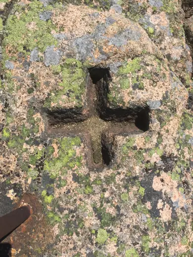
Reaching the Summit: Green Mountain
Every way to the top, from the 1853 surveyors' track, the buckboard toll road and the cog railway to the 1931 motor road, the WWII radar station and today's vehicle reservation, with the Pot Holes, the Featherbed and Frenchmen's Camp.
Read the story →| Photo | Feature & field note | Type | Area | Date | Map |
|---|
Many of these features stand on private land or in places the park asks hikers to avoid. Please read Walk lightly before setting out, and leave everything where you find it.