The surveyor route
The first real route to the top was built for science. In 1853 Professor Alexander Dallas Bache of the U.S. Coast Survey began mapping the Maine coast, and a year later he chose the summit, which he called "Mount Desert," as a triangulation station. Richard Hamor of Eden (the old name for Bar Harbor) built a 10-by-12-foot frame house on top for $50. Coast Survey artificer Thomas McDonnell cut a rough road to drag the instruments up. C. O. Boutelle set up a heliograph, a mirror that flashed sunlight between distant stations, and it stayed in use until 1860.
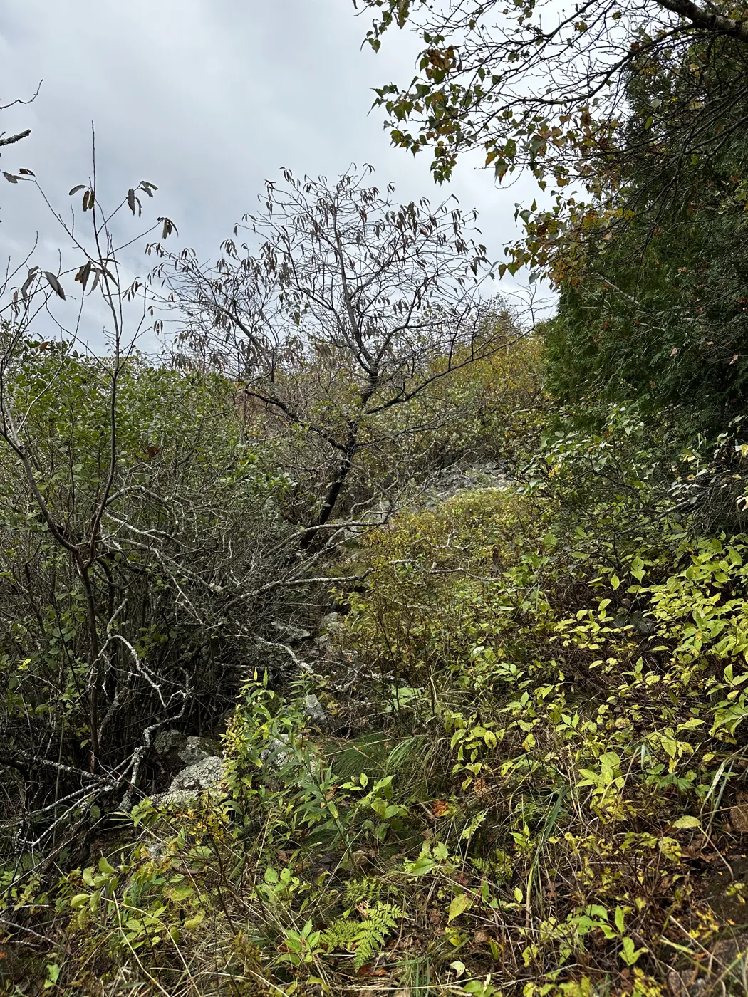
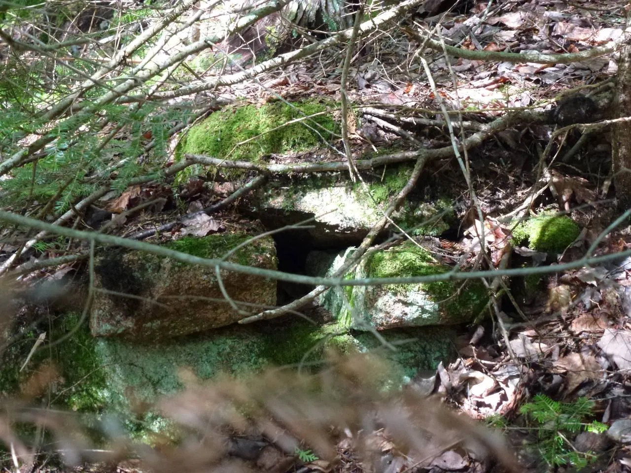
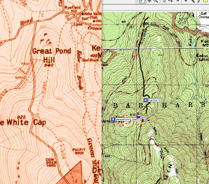
The road ran up from the Eagle Lake Road across rock, bog and ledge, possibly over an older "Green Mountain Path." The HAER report calls it the first route to the summit other than old Abnaki trails. The station is still in the national survey record as "Mount Desert 1856."
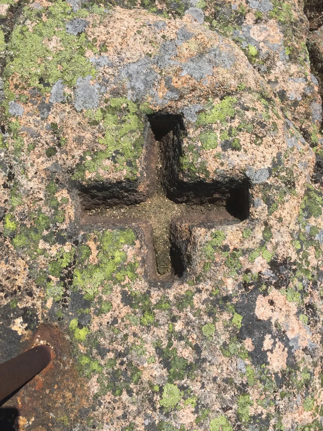
Found in the field · 2006 and 2009
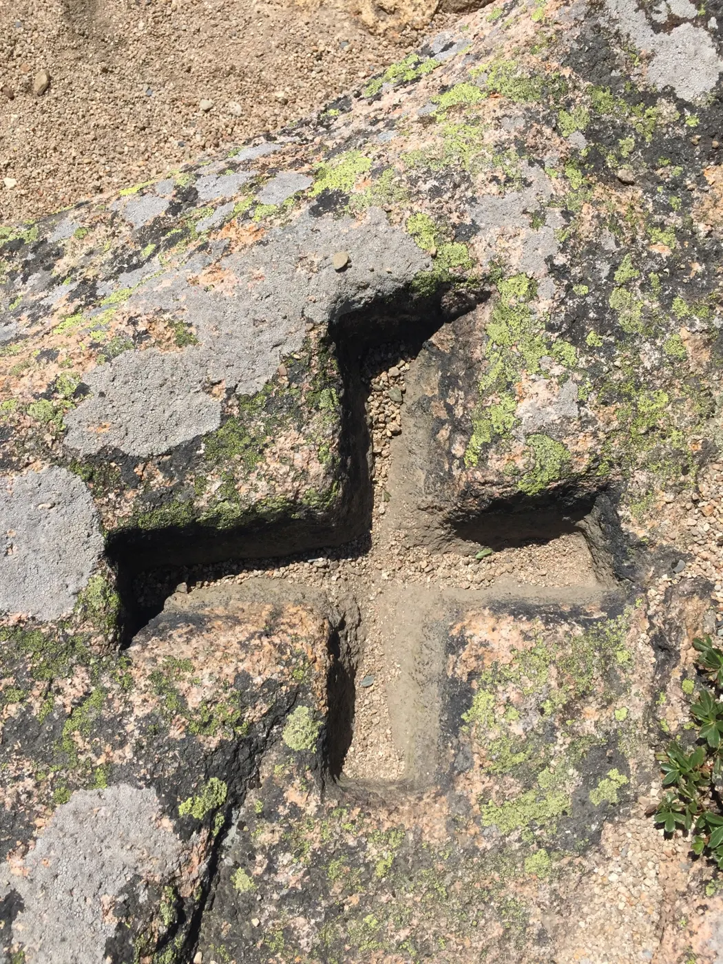
- Triangulation station "Mount Desert 1856"; the benchmark is "13' south and 1' higher" Show on map
- A reset mark behind the summit gift shop Show on map