AKane–Bridgham Memorial Bridge
Farrand design 1928 · finished Oct 1929 · crew visits 2010, 2015, 2016 and 2025
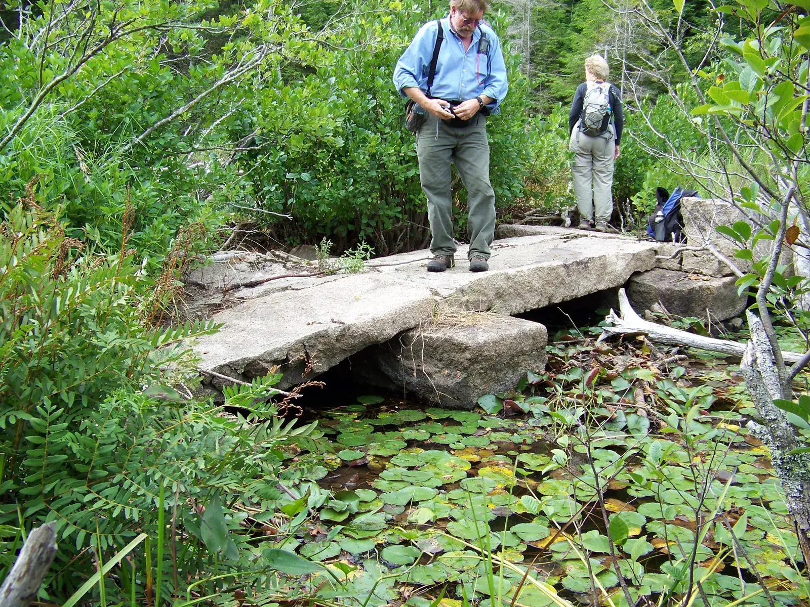
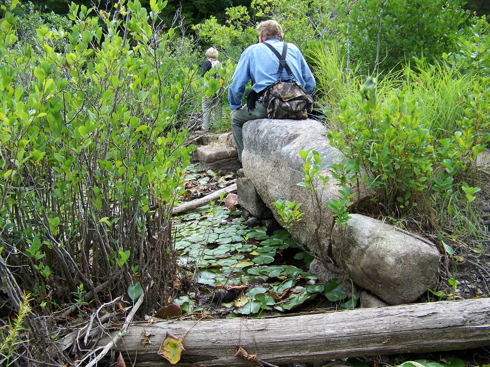
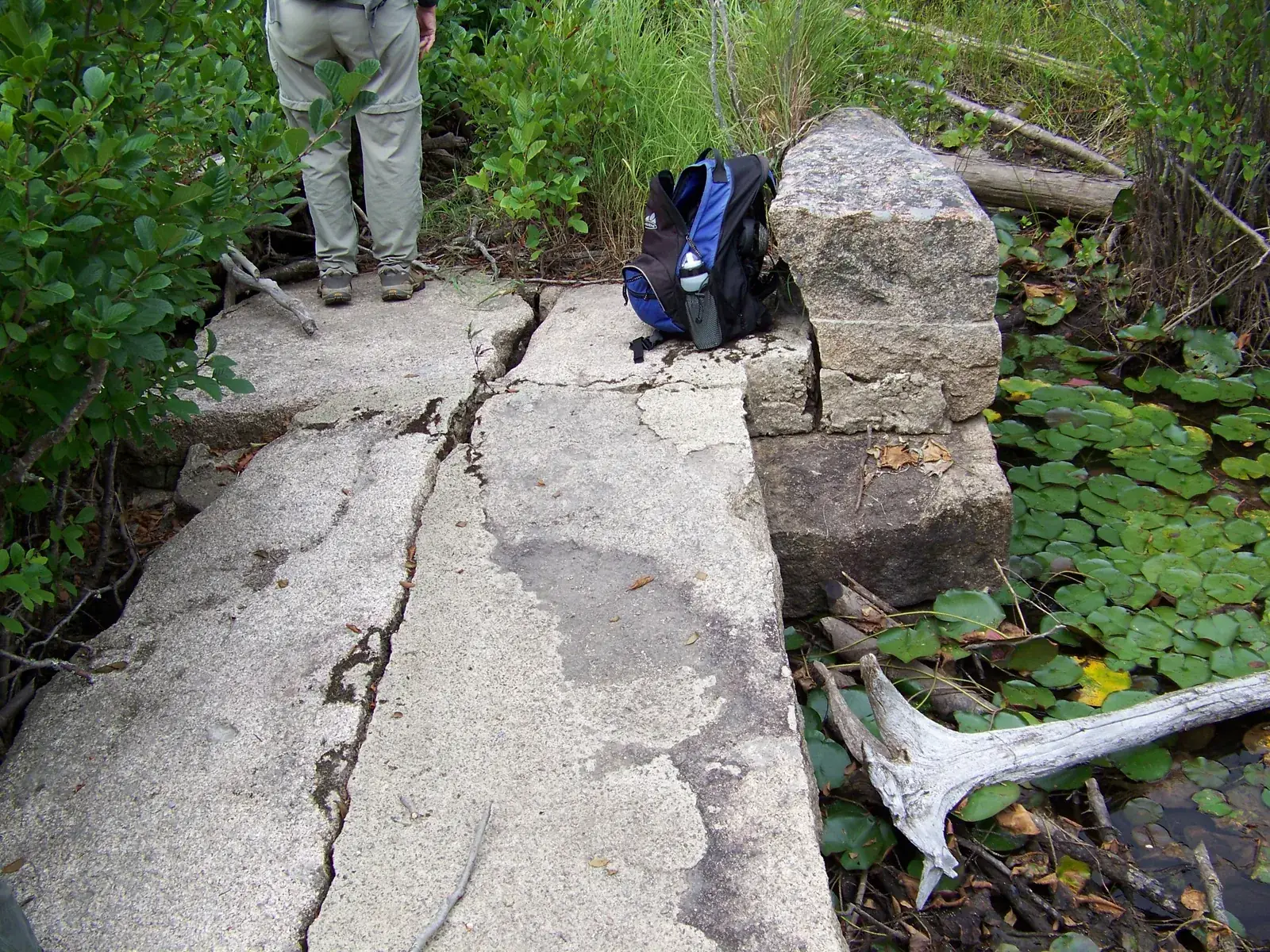
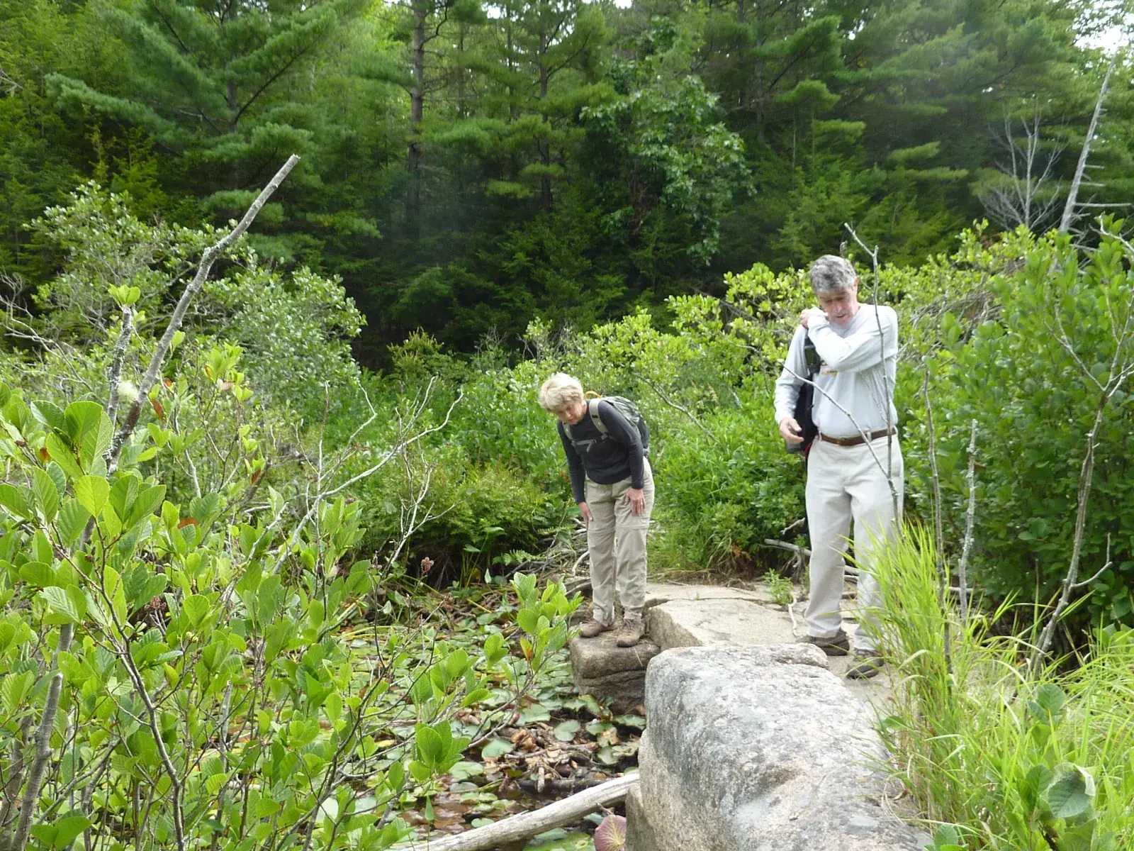
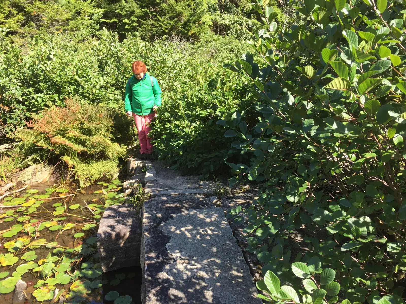
The arched stone footbridge over the outlet brook. The crew's 2010 note calls it a "stone memorial bridge in disrepair."
Lake Wood is a small, quiet lake in the woods above Hulls Cove. On its west shore an old stone path runs along the foot of a granite cliff, and then straight into the water. You can still follow it, ankle deep or knee deep, stone by stone. At the north end, a stone bridge designed by Beatrix Farrand in memory of the two sisters who gave the lake to the park has almost disappeared, first under brush and now under a beaver dam.
Lake Wood covers about 17 acres. From the early 1890s it supplied water to Hulls Cove, and by the late 1890s it had a pavilion and dance hall (Don Lenahan, The Memorials of Acadia National Park, 2014). In 1932 the Bar Harbor Times called it "for generations … a popular picnic and bathing objective," "one of the most beautiful as well as most secluded on the Island, reached by a rough and narrow road from the county road near Hulls Cove" (Bar Harbor Times, 10 Aug 1932).
That summer the park was building a parking space and improving the road, and a small crew under Leo Grossman was clearing the debris left from building the bridge (Bar Harbor Times, 10 Aug 1932). Over the 1930s the Civilian Conservation Corps cleared snags from the lake bottom and anchored a float for bathers. Later there were changing rooms at the beach, a diving board bolted to a granite ledge and, in the 1960s, a lifeguard (Lenahan).
The stone at the bridge says the lake was given by Annie Cottenet Kane and Fanny Schermerhorn Bridgham, sisters from an old New York family. Annie Kane lived from 1857 to 1926 and Fanny Bridgham from 1846 to 1919, and both gave money and land for trail building (Friends of Acadia). The deeds tell a slightly different story. A land-title history in the crew's files traces Lots 28, 29 and 30 from the 1790s to 12 December 1923, when the last owners conveyed them to the Hancock County Trustees of Public Reservations; on 9 February 1924 the Trustees conveyed the land to the United States for Lafayette National Park. The author found no deed in either sister's name and suggests they gave the money to buy it. It also notes that no one ever lived on these lots.
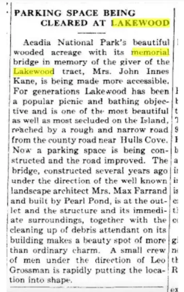
The bridge crosses the outlet brook at the north end of the lake, a short walk northwest of the beach. Beatrix Farrand designed it, and the park superintendent George Dorr approved the plan in November 1928 (Lenahan). That is probably where the date 1928 in the crew's 2010 field note and in the park's trail history comes from. The Bar Harbor Times reported the bridge finished in the first week of October 1929:
"There are three arches on each side and they are formed by six great stones, so closely resembling one another in size and shape and proportionate measurements that the natural beauty is perfect and unspoiled. The bridge is 26 feet in length and five feet in width.""Kane–Bridgham Memorial Bridge Is Completed," Bar Harbor Times, 9 Oct 1929, p. 1
The builder was Pearl Pond, "well known for many years as a skillful artisan in stone." The foundation is old-face stone cut "but little," and the great stones came from the Bowler lot behind the Witch Hole (Bar Harbor Times, 9 Oct 1929). Lenahan gives his name as Perley Pond, a granite cutter with a quarry on the island and a shop on Cottage Street.
By 1990 the memorial was so overgrown that the Bangor Daily News reported it "recently uncovered" by park trail volunteers (Lenahan). When the crew walked across it in 2010 the deck stones were cracked, and water lilies filled the brook on both sides.
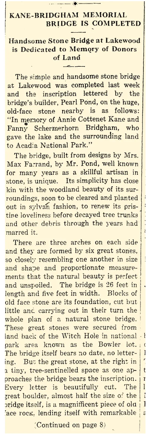
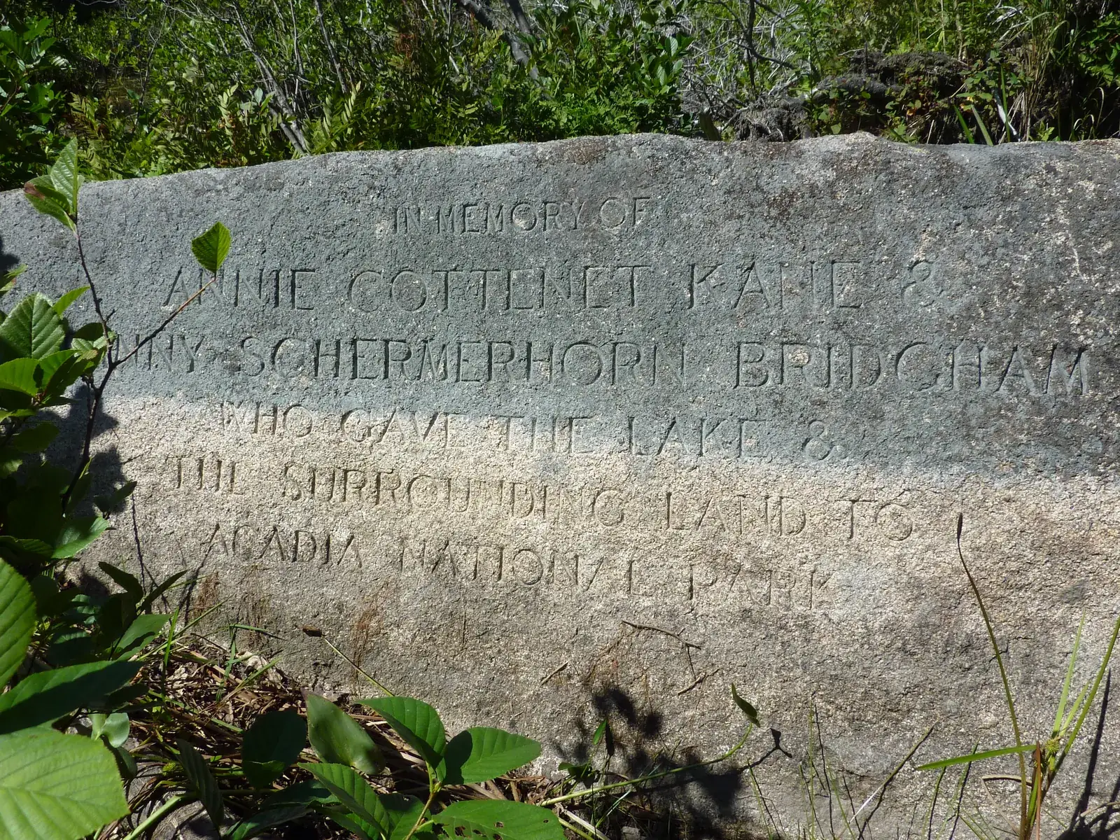
The bridge itself "bears no date, no lettering." The words are cut instead on a great boulder "at the right in a tiny, tree-sentinelled space as one approaches the bridge," a stone "almost half the size of the bridge itself" (Bar Harbor Times, 9 Oct 1929). Pearl Pond lettered it himself:
In memory of
Annie Cottenet Kane
and Fanny Schermerhorn Bridgham
who gave the lake and the surrounding land
to Acadia National Park
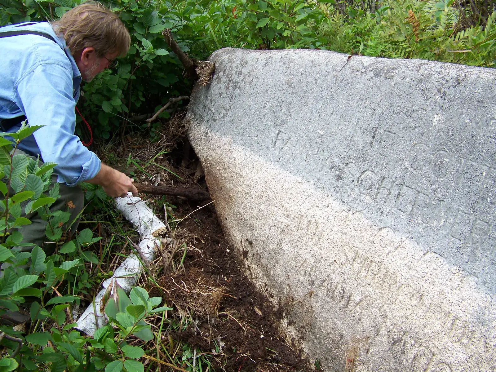
The land-title history in the crew's files points out that the stone must date from 1929 or later, since the park was still Lafayette National Park when the land was deeded in 1924 and only took the name Acadia in 1929. In 2010 the crew cleared the leaves and moss from the letters so they could be read and photographed.
Each lettered pin is a place on this page; the small dots are what the crew recorded around it between 2010 and 2025. The dashed lines are the old shore trails and the crew's own tracks. Switch the base to LiDAR to see the cliff and talus under the trees. Click any point for its field note.
From the outlet and the bridge at the north end, down the west shore to the ledge steps at the south end of the cliff. The names are the crew's; the field notes are on the map.
The arched stone footbridge over the outlet brook. The crew's 2010 note calls it a "stone memorial bridge in disrepair."
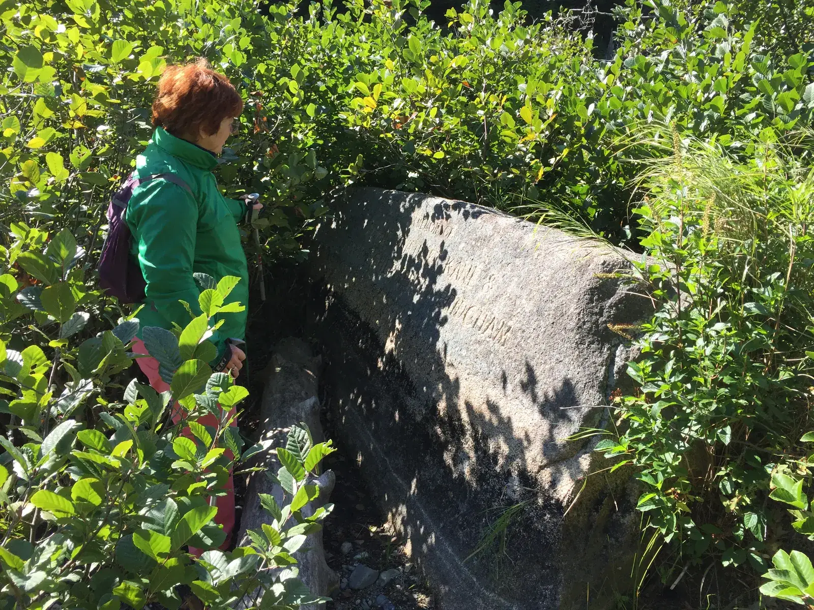
The big lettered stone on the right of the path as you come to the bridge, with the names of the two sisters.
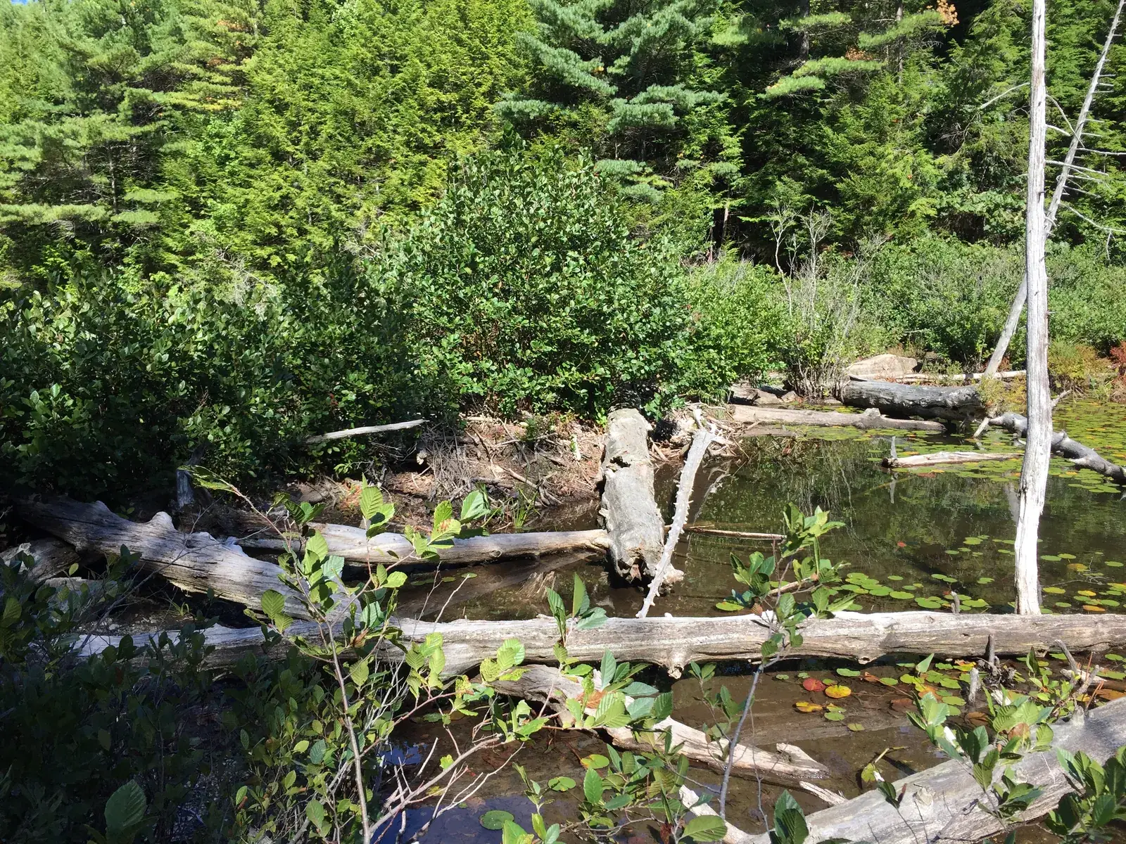
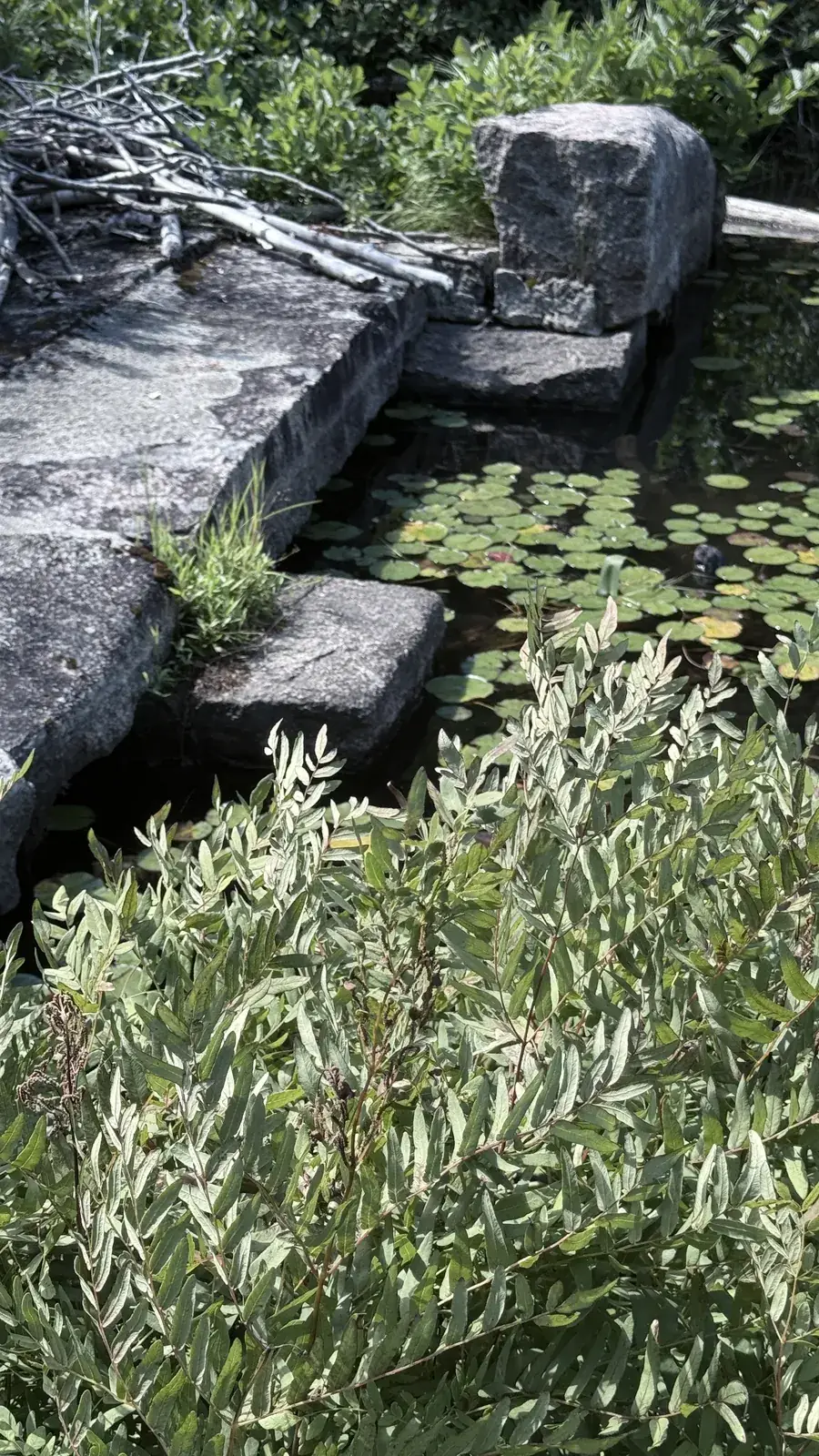
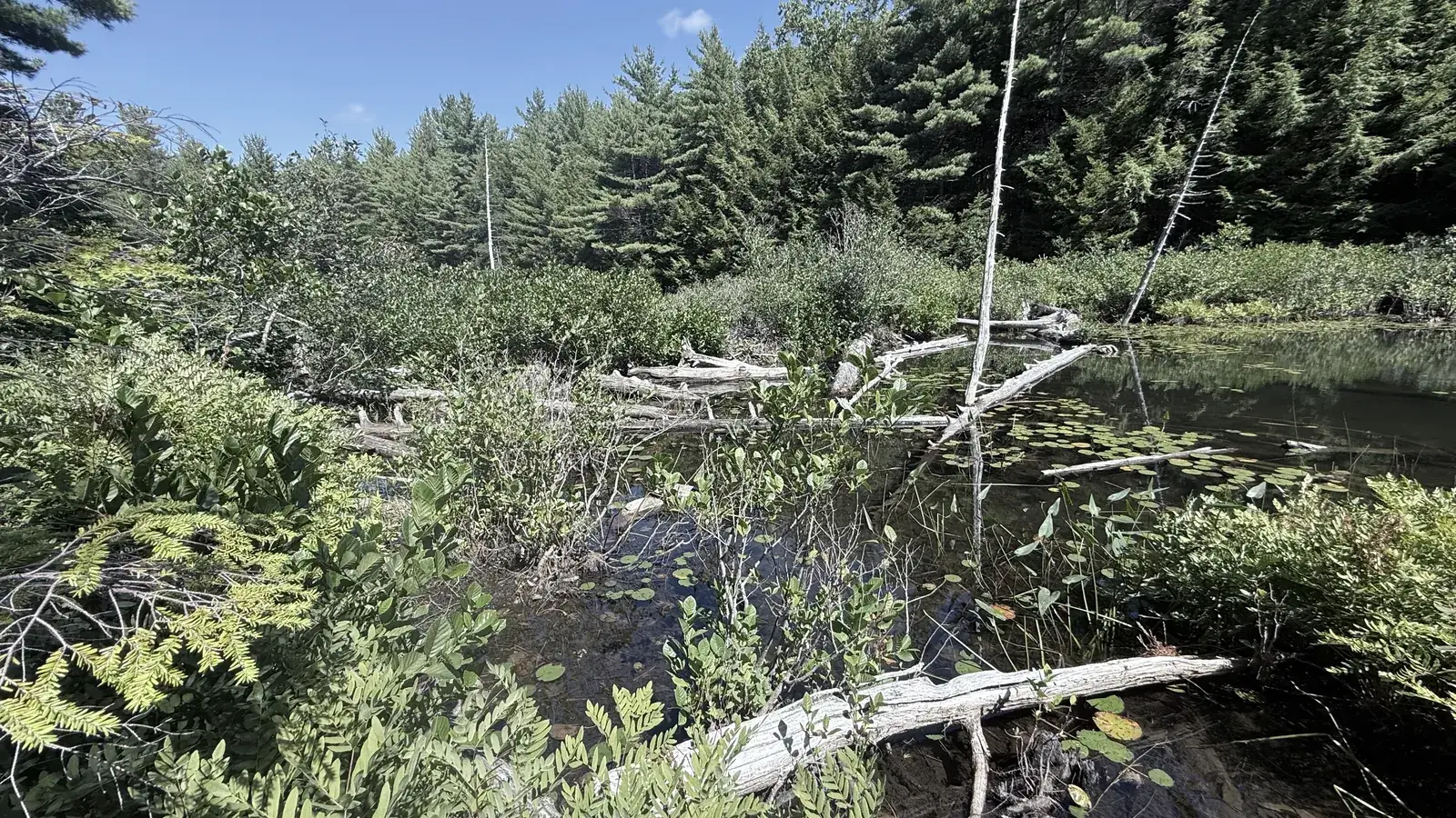
"Bridge has been taken over by beaver dam. Almost impassable and top is covered in scrub trees." The dam raised the lake, and the water now backs up over the shore path to the south.
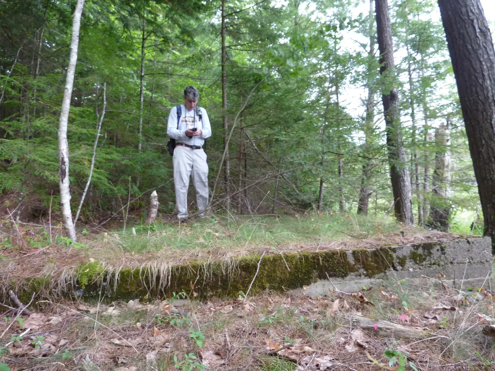
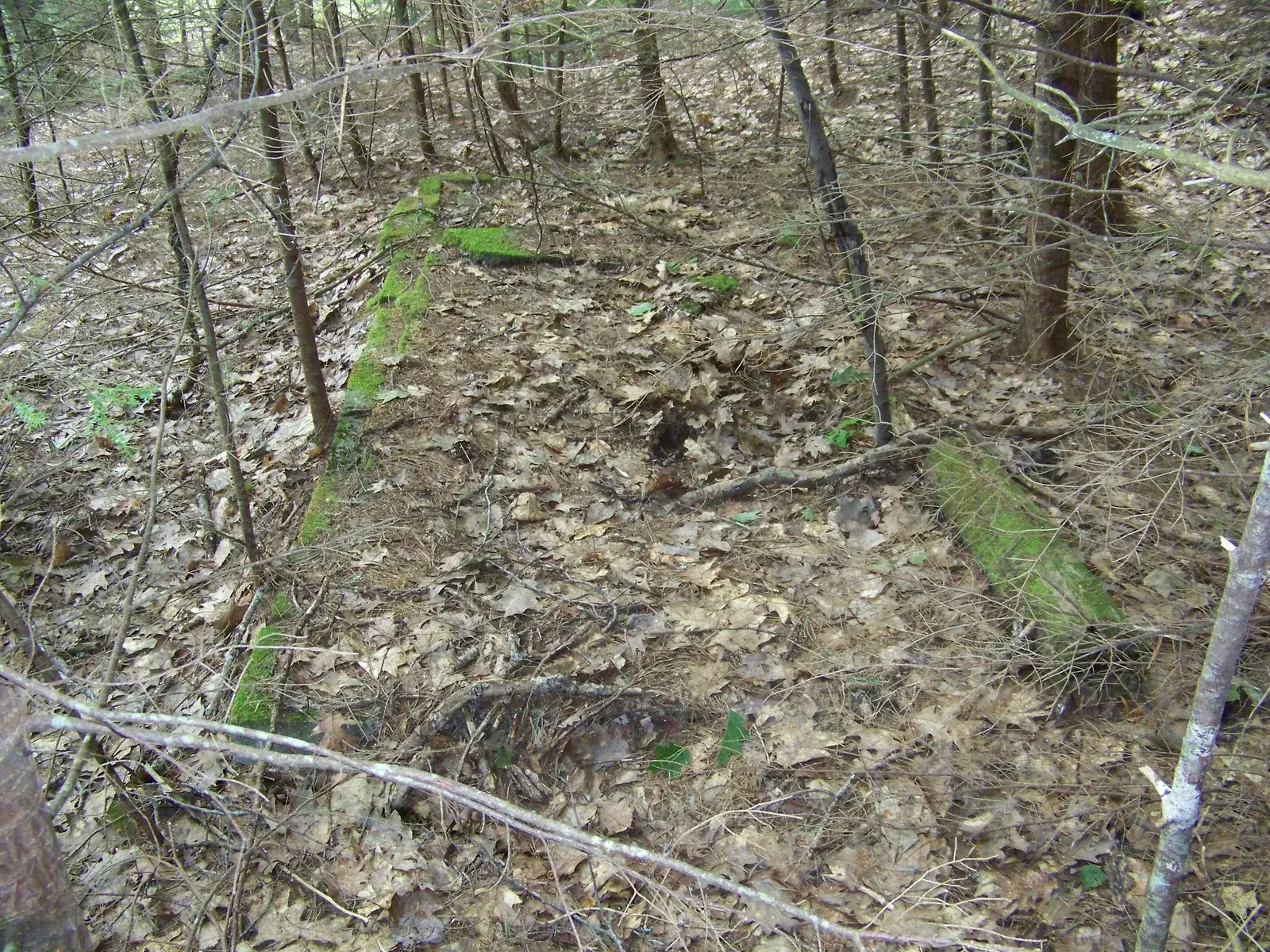
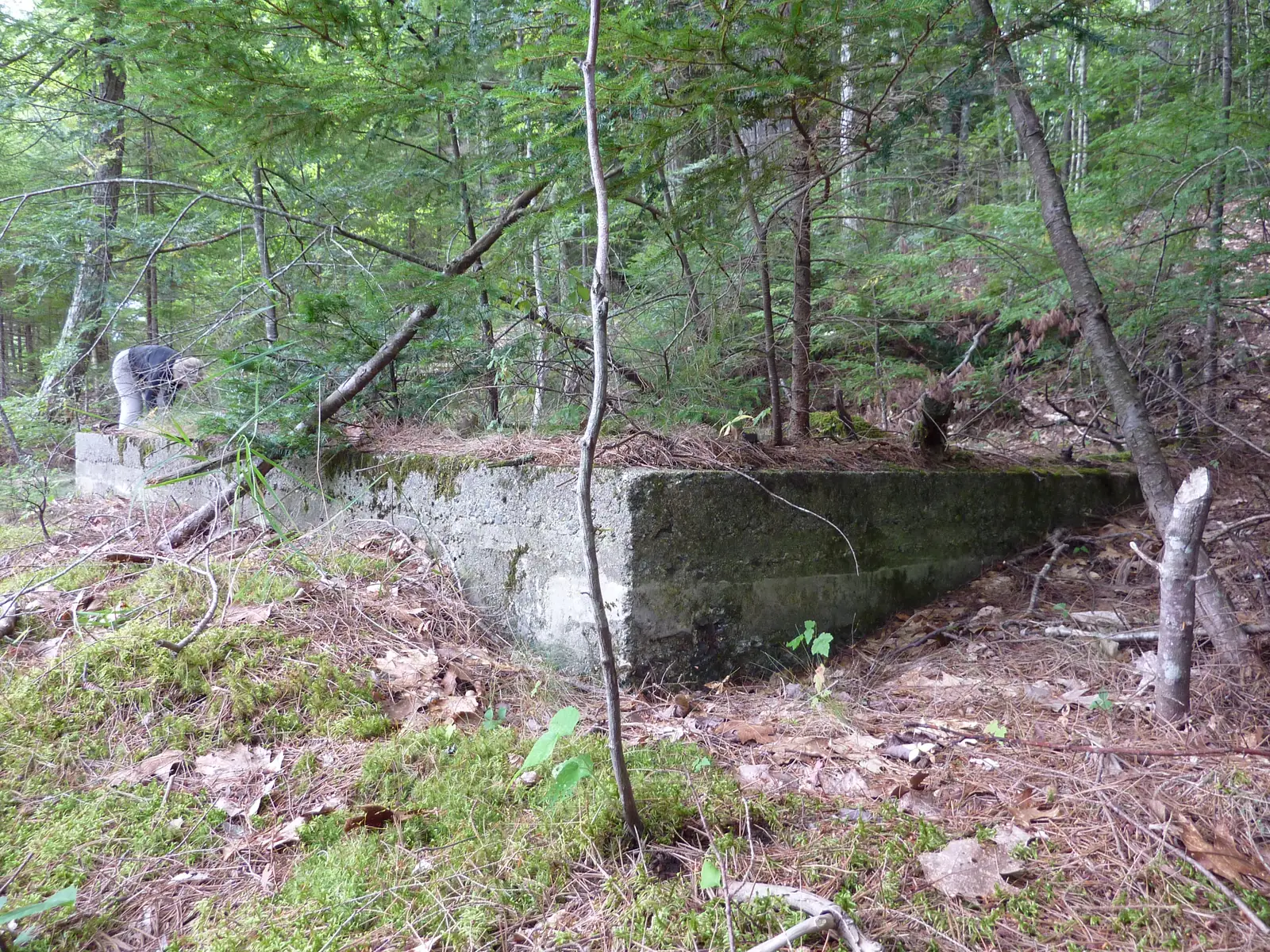
Just south of the outlet on the west shore, the crew found a foundation about 12 by 12 feet and a second one beside it, which they took for the old bath house. It fits the changing rooms that once stood at the beach.
Old bolts drilled into a flat overhanging rock, most likely for the diving board, on a set of ledges where swimmers still jump into the lake. Nearby the crew noted about three stone steps and stonework along the path that looked like CCC work.
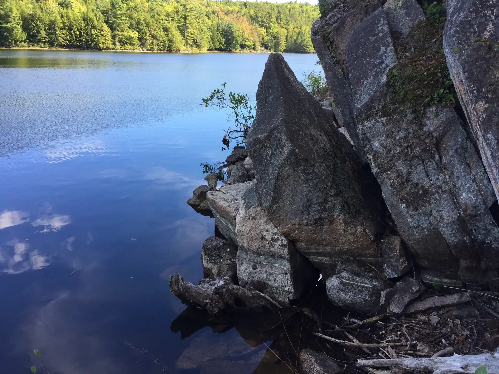
Stone stairs bring the path down a slope of broken rock to the water. In 2025 the crew found that "the slope has shifted and brought down a couple of trees and covered any remains of the stone path. The three steps remain though, under water due to the rise of lake level."
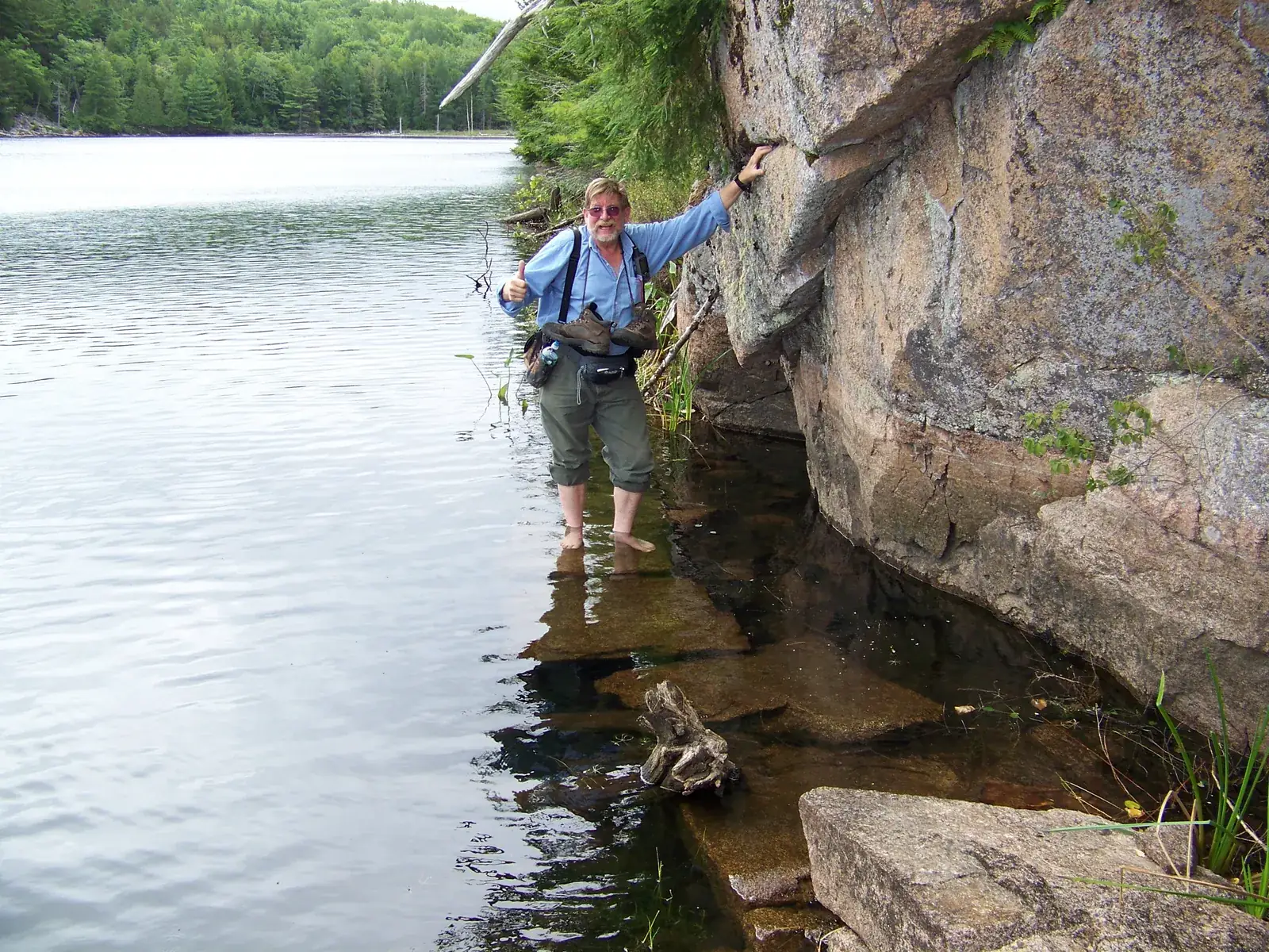
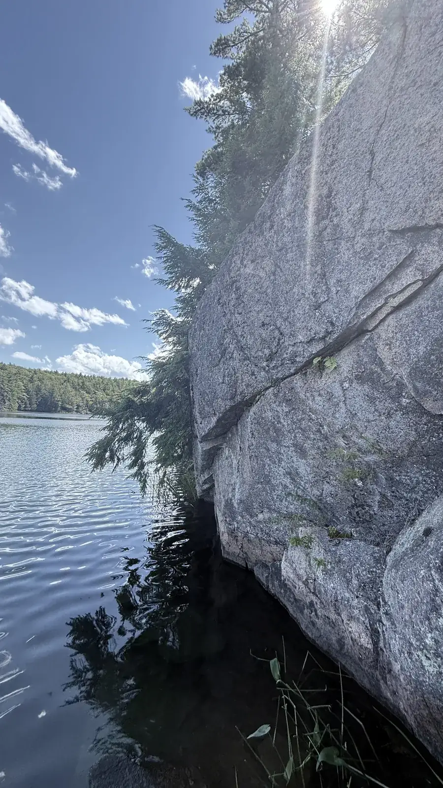
Below the cliff, flat stones were set at the water's edge to carry the path past the rock face. The crew logged "Step Stone 2, under water" here on 24 August 2010 and waded the line of stones the next day.
Where the path leaves the water it climbs "3 steps up and about 9 down over a ledge by the water," with more steps on a built foundation close by, and the only cairn the crew found on the shore or the ridge.
An unmaintained path runs along the west side of Lake Wood. Where a granite outcrop meets the water, it carries on over stepping stones set at the water's edge, walkable when the lake is low, much like the stones on the west side of the Tarn south of Bar Harbor. Lenahan writes that the path was built with money from Annie Schermerhorn Kane in memory of her husband, John Kane (Lenahan).
Les Heilakka went looking for it in the summer of 2010. On 24 August they followed stone stairs down the talus and marked the point where the path went "into water." The next morning a larger group crossed the bridge, walked down the west trail and waded the stones under the cliff, some of them with walking poles. The squared stones are easy to see through the clear water, laid end to end along the foot of the rock.
The crew came back in July 2011 to map the shore trail and its steps, and again in September 2016 and August 2025.
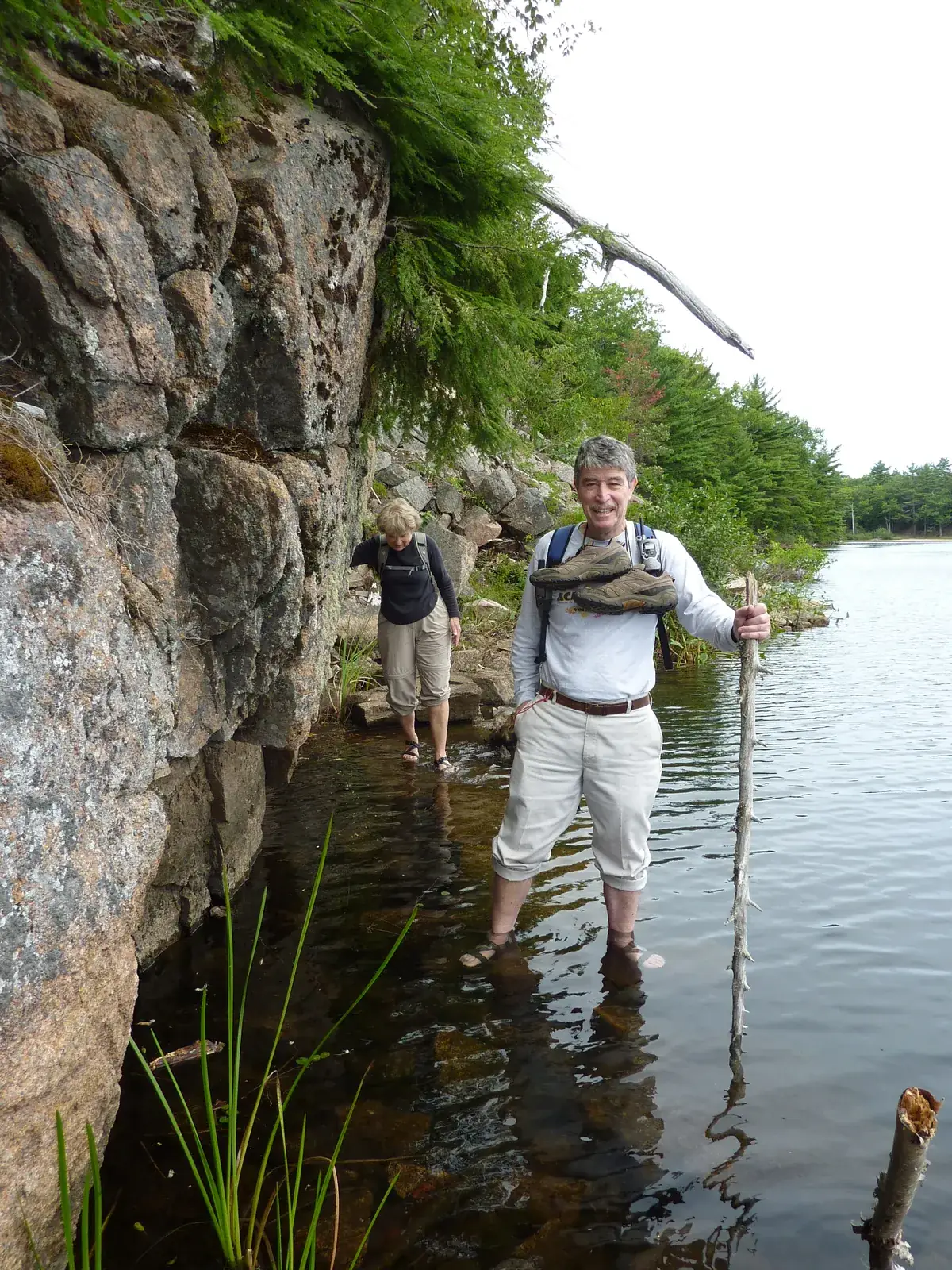
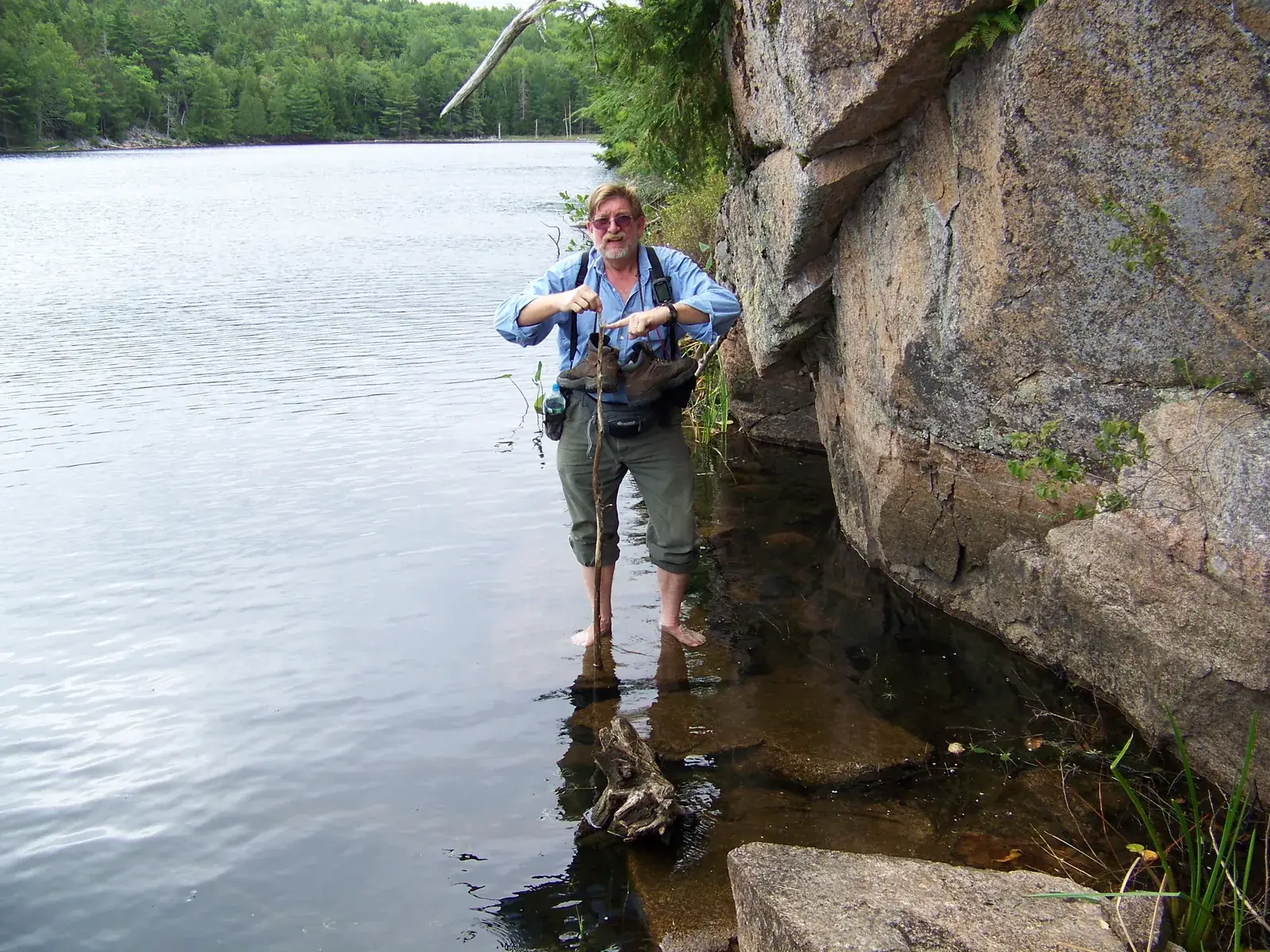
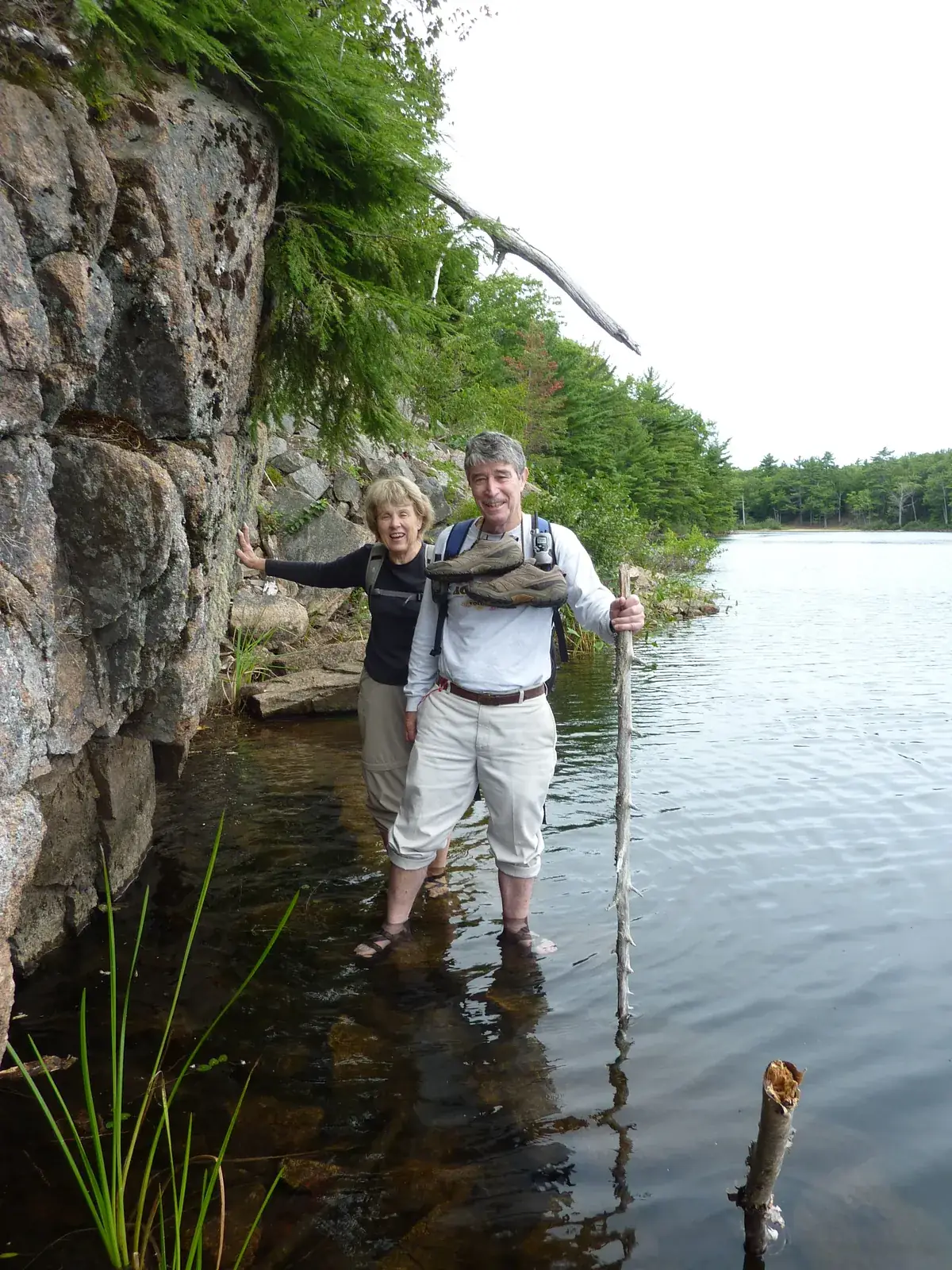
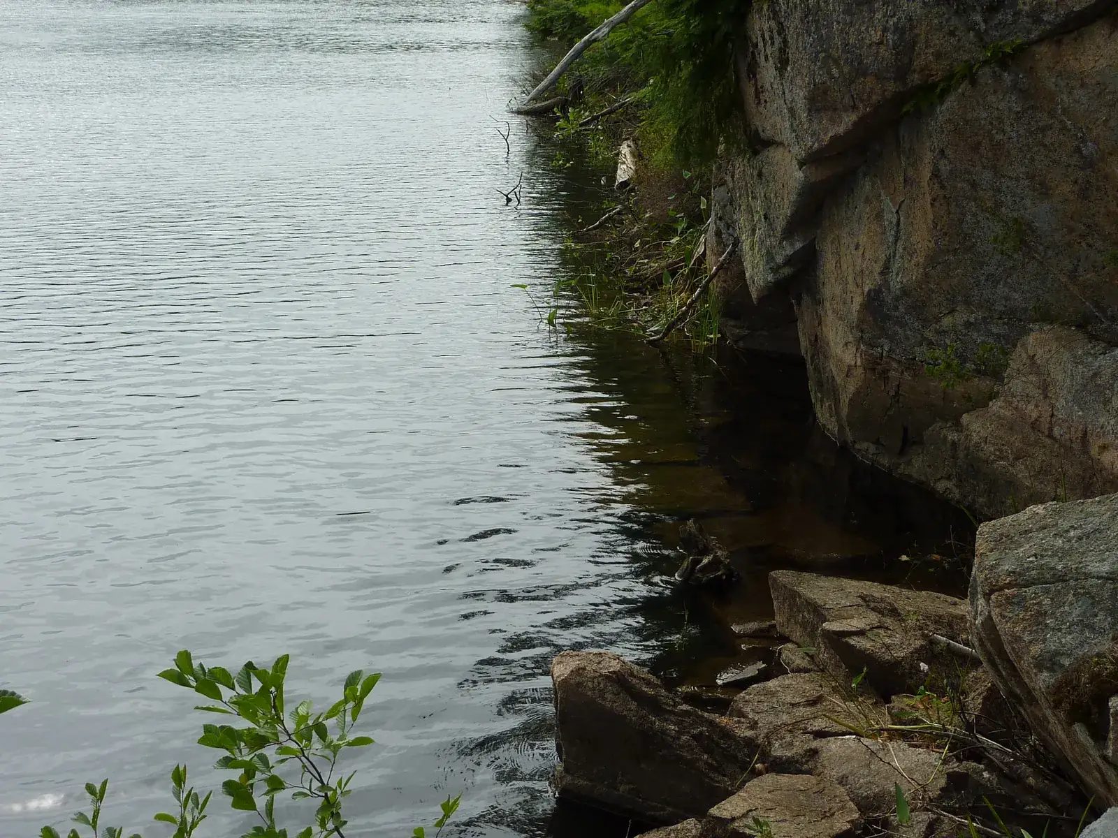
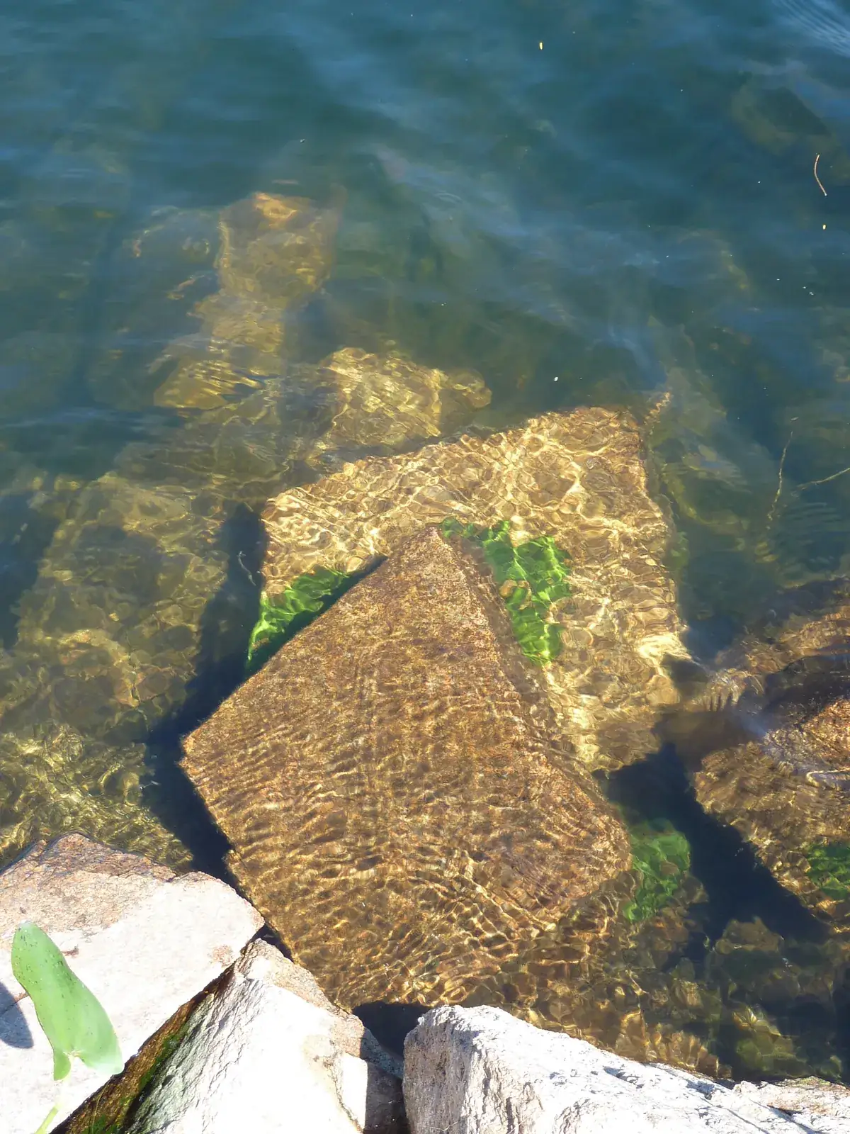
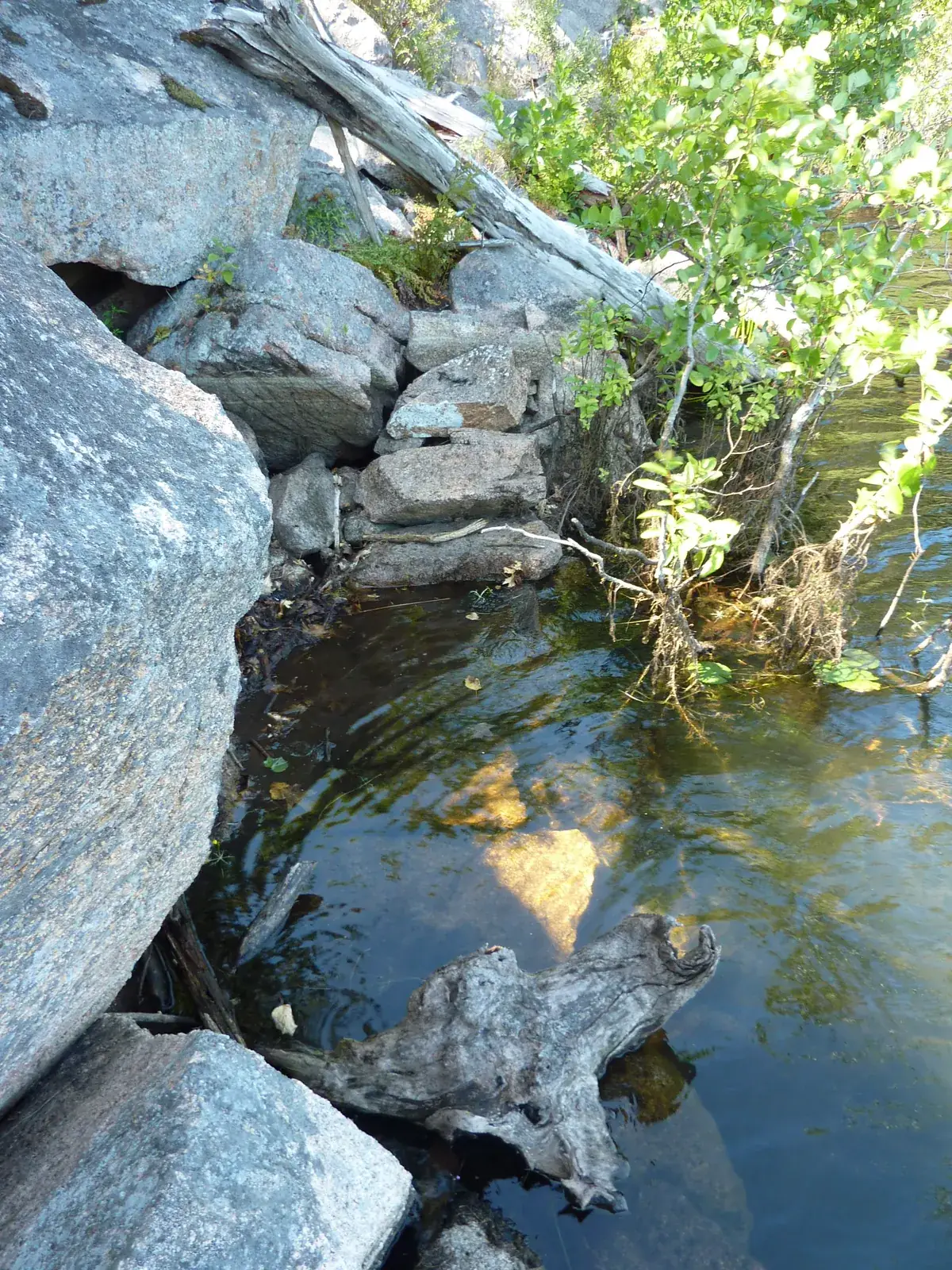
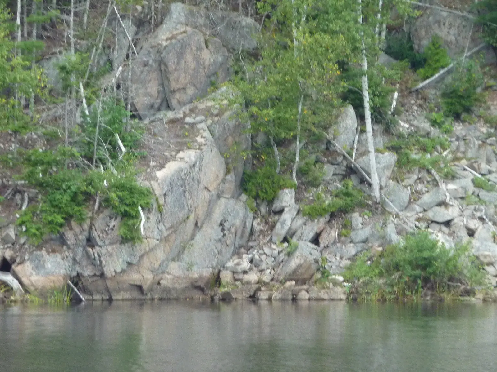
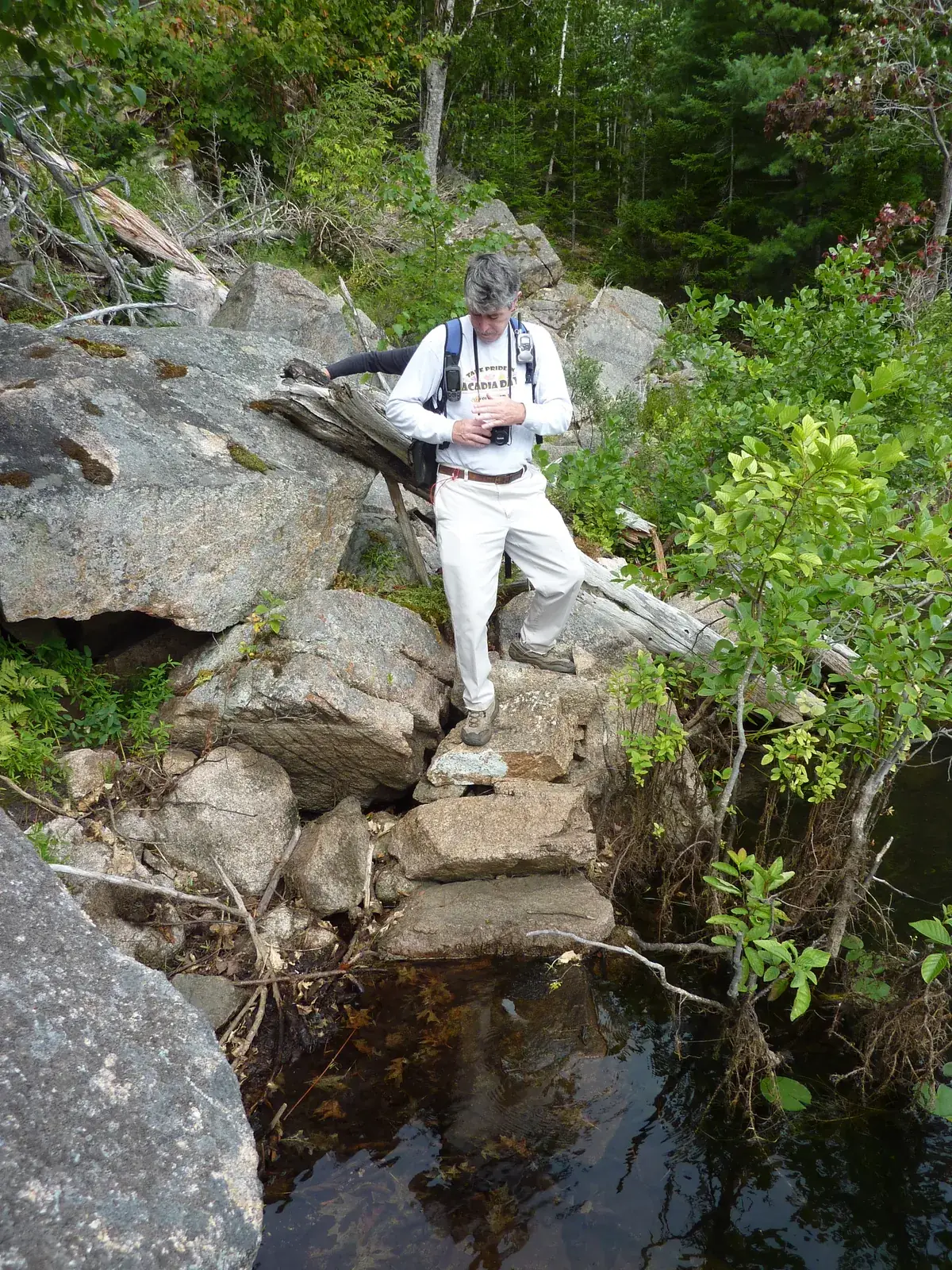
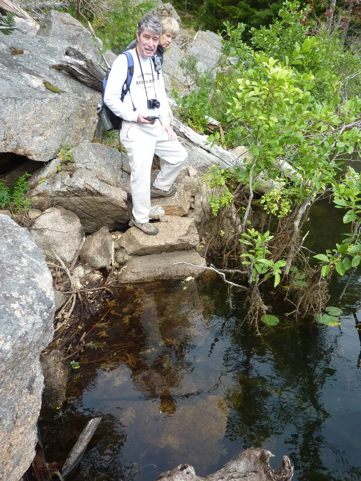
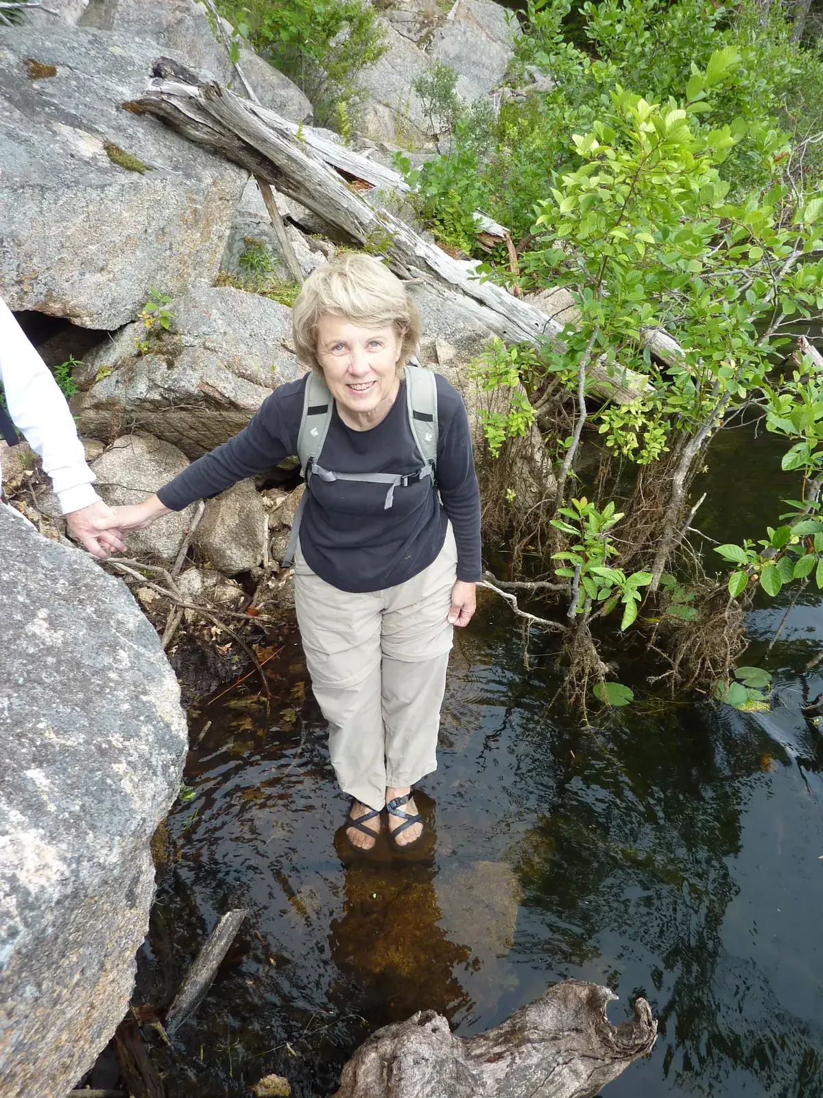
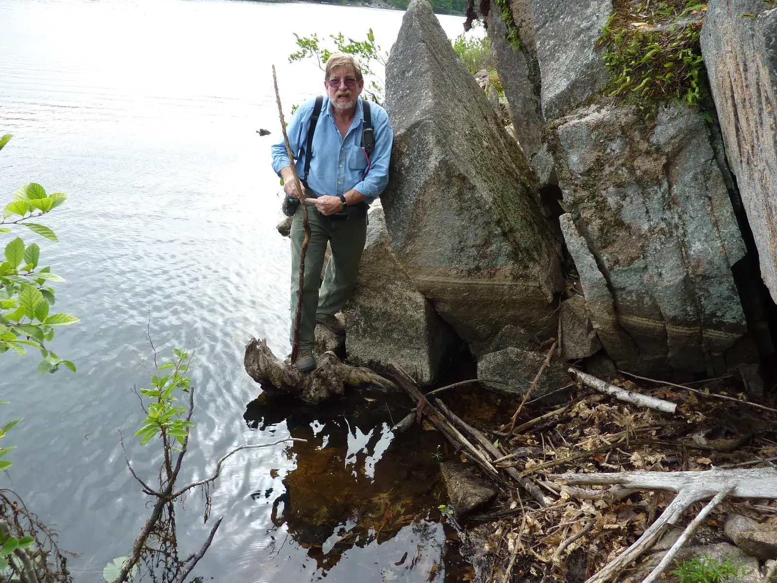
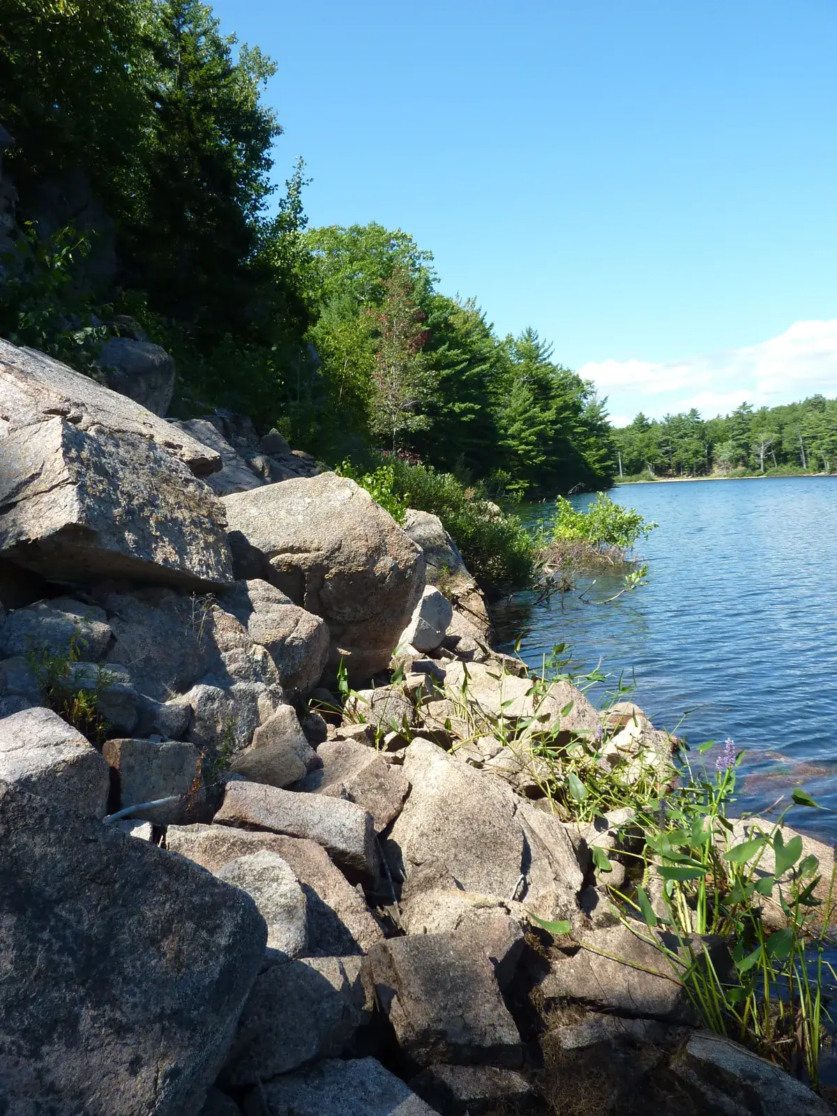
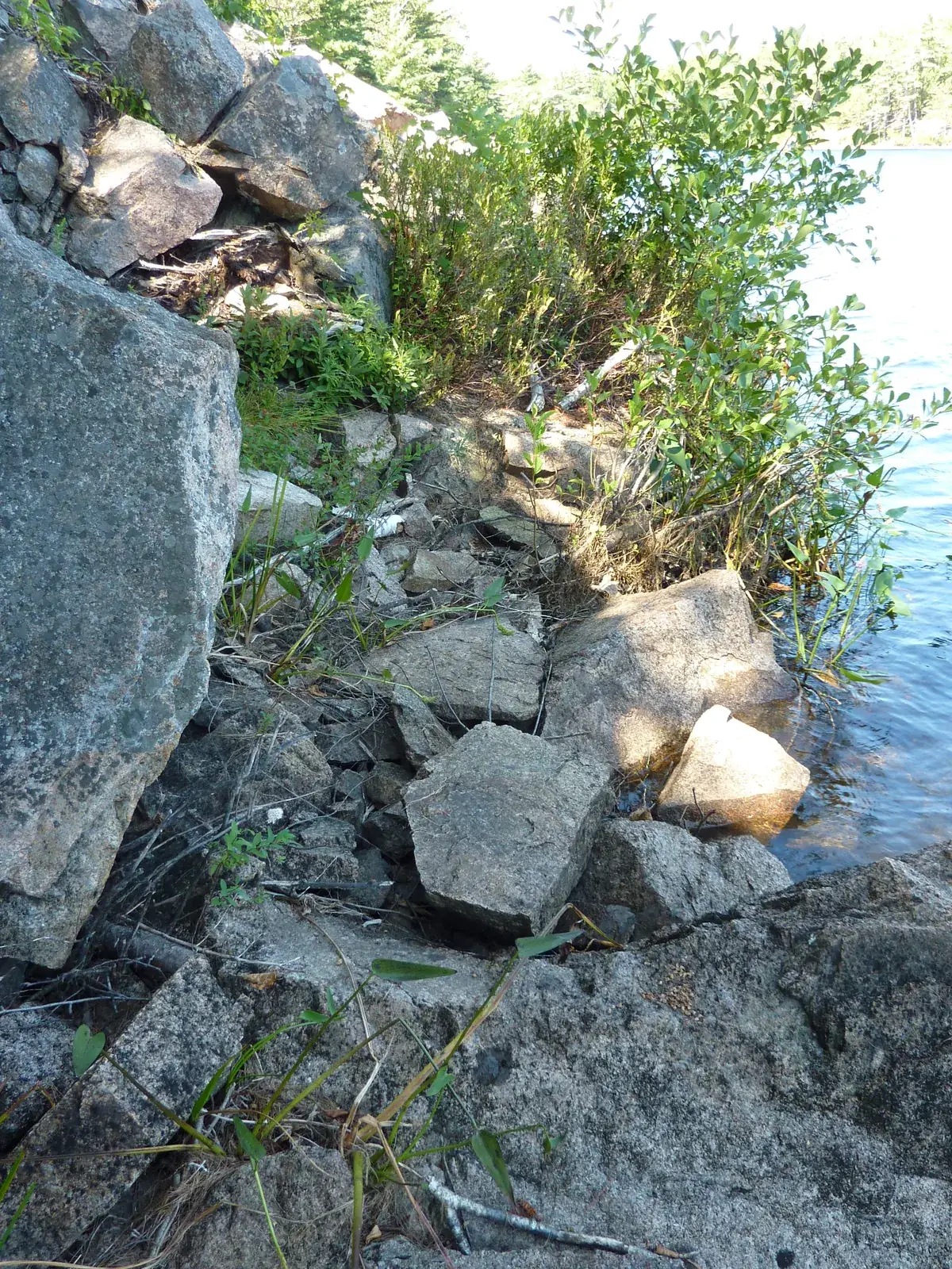
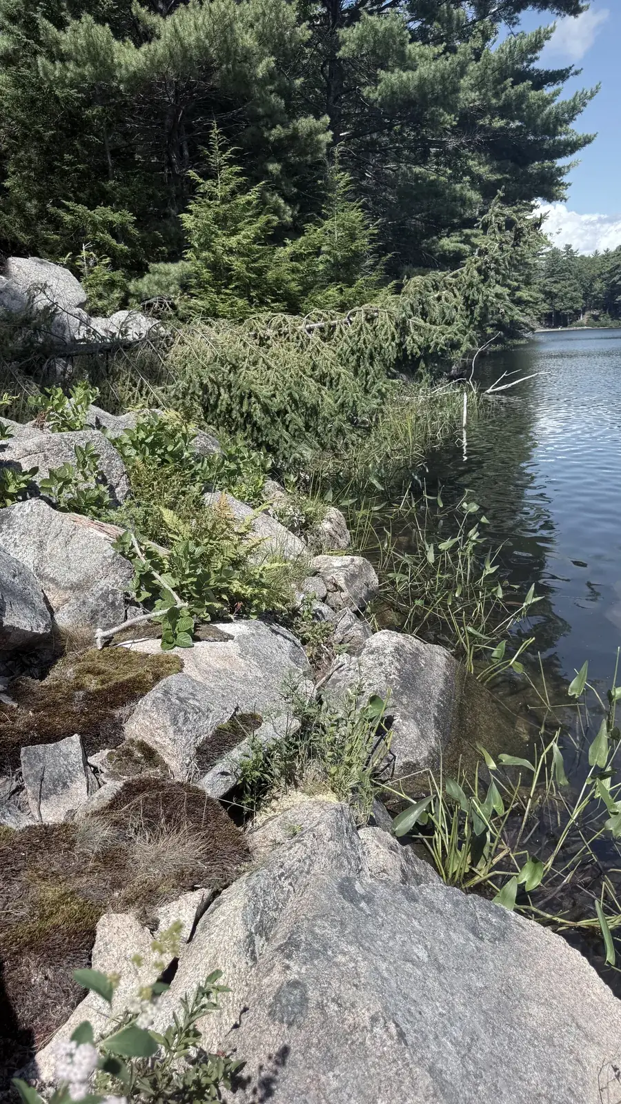
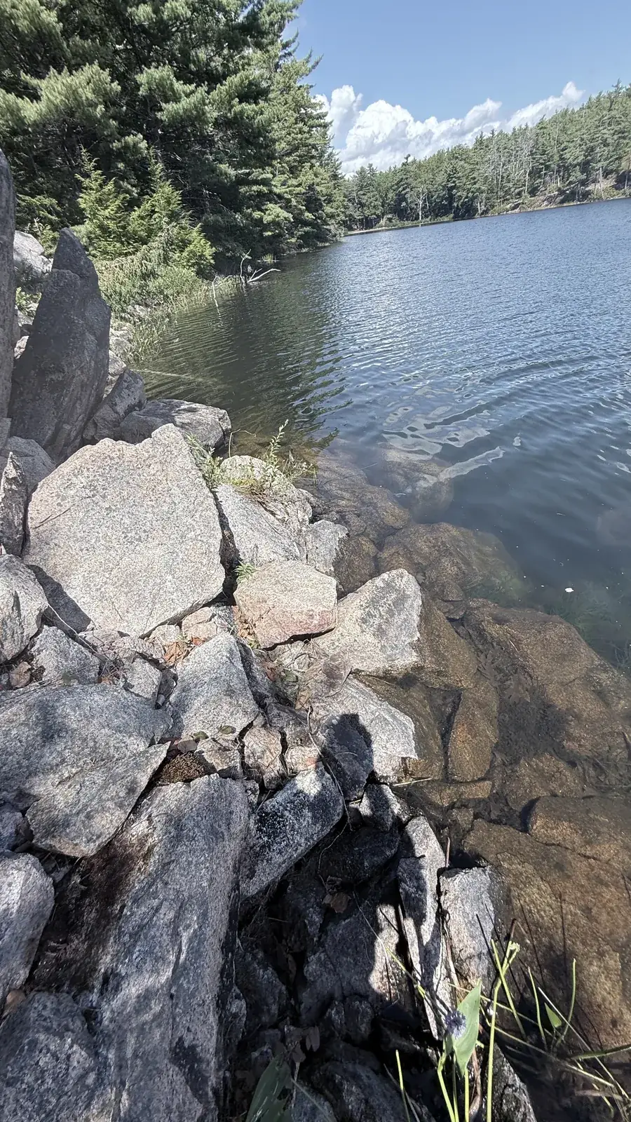
In 2010 the bridge was overgrown but still a bridge, and the stones under the cliff were ankle to knee deep. By 2016 there was beaver work at the outlet. By 2025 the beavers had dammed the bridge itself. The crew judged that they had raised the lake by about a foot, enough to put the three stone steps at the foot of the talus under water. Friends of Acadia captions a 1932 photograph of the bridge "under water today" (Friends of Acadia).
The bridge, 2010 and 2025
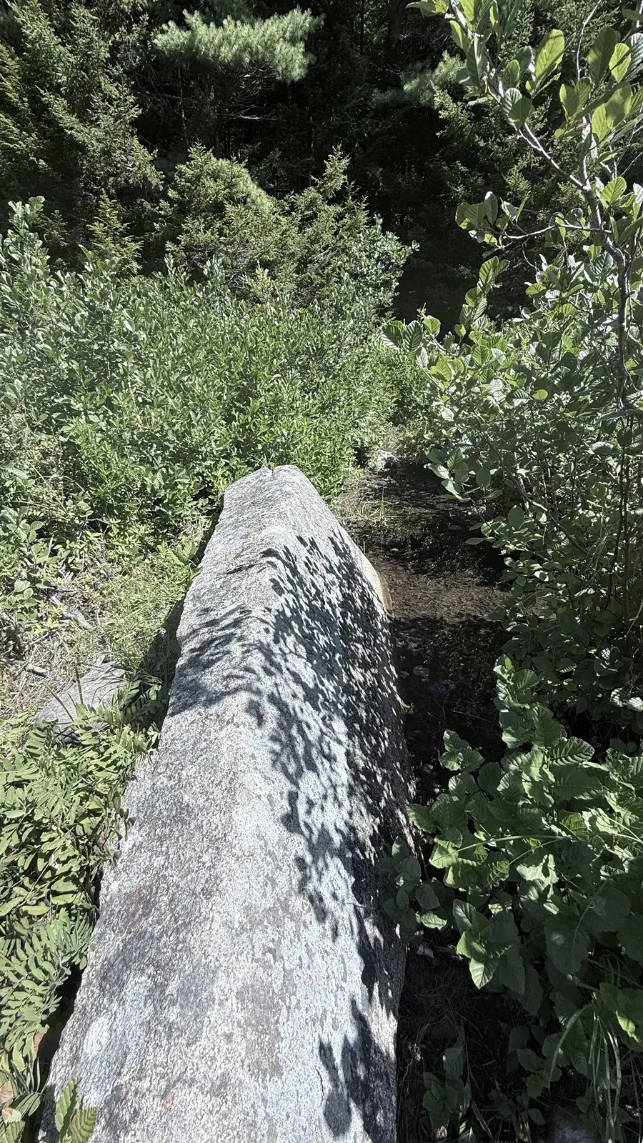
The deck and the dam, 2025
The cliff where the stones go under, 2016 and 2025
Lake Wood was a swimming lake long before it was a park lake. In the woods just south of the outlet the crew found two low stone and concrete foundations, one about 12 feet square, which they recorded as the bath house. Farther down the shore, bolts in a flat overhanging ledge probably held the diving board, and the ledges are still a place where people jump in. In 2010 the crew noted that the park was testing the lake water every week.
The 1947 fire burned eastern Mount Desert Island, and afterwards burnt trees were cut and thrown into the lake and fenced off about 100 feet from the beach (Lenahan). Some of the logs that still lie in the shallows may date from then. See After the Fire of '47 for the burn map.
The west shore path is not maintained. The stones under the cliff are slippery and the water gets deeper without warning, and the talus can shift, as it did between 2016 and 2025. Don't try the crossing alone or when the water is high or cold. Please don't climb on the overgrown bridge or pull apart the beaver dam; the beavers are part of the park too. Leave every stone where it is. Use the park's Lake Wood parking area; the roads around Hulls Cove have private homes, so don't cut across private land to reach the lake.
Field photographs by the Lost Trails crew, 24–25 August 2010, 26 September 2016 and 26 August 2025. People in the photographs are Les Heilakka and other crew members on field outings. GPS points, tracks and field notes by the Lost Trails crew, 2010–2025. Bar Harbor Times clippings are copies in the Lost Trails files. Page text drafted with AI help and reviewed by the crew.