Join the Hunt: the field edition
A second, slimmer book drawn from the same field files: the old routes over the 1942 map in 13 of the island’s most rewarding areas, and a list of what to look for along each one. No coordinates. The finding is up to you.
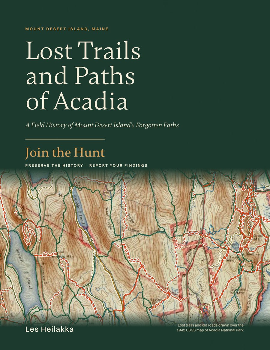
Download the PDF
The complete book: colour front and back covers and 83 grayscale pages · 17 MB · letter size (8.5 × 11 in)
What is in it
- The 13 most rewarding areas on the East and West Sides of Mount Desert Island, the ones with the most historic features and things to look for. Each has a map of its lost trails and old roads drawn over the 1942 USGS survey and a table of its ten longest. Every other area is in the online Atlas.
- On the hunt: what to look for. Starts and ends of tracks, artifacts, wells, steps and staircases, survey markers, stone posts and iron rods, quoted from the field notebook. Each find is numbered on the area map, with a box to tick.
- Waypoints along the trails. The cairns, bridges, walls and foundations named on the GPS along each lost trail, in walking order, marked on the map with small circles.
- Historic features, with the story of the Pest Houses of Bar Harbor, and links to the other feature stories on this site.
- The Atlas of the whole island on the 1942 survey, the Library of old path guides and maps, a Gazetteer (an A–Z index of trail names) and a Field Report form.
How it differs from the main book
Lost Trails and Paths of Acadia prints the field notes in full, numbered on every area map, with five feature stories. The Join the Hunt edition leaves out the coordinates and most of the notes, keeping the routes and a short checklist for each area, so it can be carried and used on the ground.
Preserve the history, report your findings
Everything along the old paths belongs where it is. Look, photograph and leave it in place, and never disturb a survey disk, boundary post or iron rod. Read Walk lightly on lost trails before you go. If you find something on the lists, or something new, send a photo, the date and where it is to info@losttrailsofacadia.com.
Routes in this book are historic and unmaintained; use them at your own risk (disclaimer). © 2026 Les Heilakka. For personal use; please do not repost the file. Link to this page instead.