Historic features · Featured site

Picnic on the Quiet Side: Pine Hill and Oak Hill

In 1937 the Civilian Conservation Corps built two small picnic grounds on hilltops in Tremont, at the north and south ends of Seal Cove Pond. Families drove up a loop road, parked, lit a fire in a stone fireplace and ate under the pines. The shelters came down a generation later, and the park no longer lists either place. The fireplaces, steps and walls are still there.

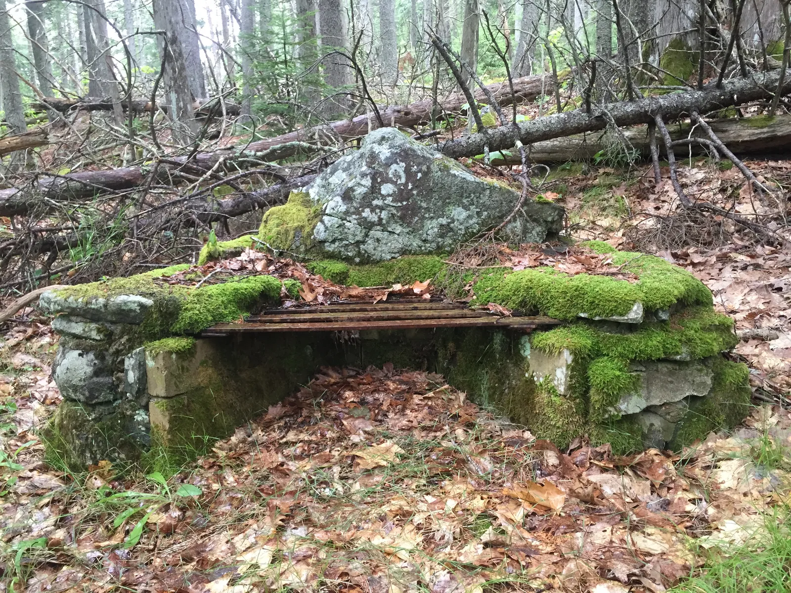
A CCC fireplace of mossy granite blocks with a rusted iron grate, a tall stone set at the back as a windbreak
Fireplace and grate at Pine Hill, 15 Jul 2015
  • 1937Both picnic areas built by the CCC as Recreation Demonstration Projects
  • 1.85 milesPine Hill to Oak Hill as the crow flies (about 3 km), Oak Hill almost due south
  • TremontBoth sites are in the town of Tremont, on the west side of Mount Desert Island
  • 1956–66Both picnic shelters demolished in the Mission 66 years
The New Deal on the west side

Camp NP-2 and the quiet-side picnic grounds

In 1933 George B. Dorr won two Civilian Conservation Corps camps for Acadia. The west-side camp, NP-2, was Company 158 on Long Pond, about 200 young men who worked on the park until 1941 (NPS Multiple Property Documentation).

At the same time a federal relief program for worn-out farmland gave the Park Service about 8,000 acres on the west side of the island as a Recreation Demonstration Project. At Acadia that money paid for the Seawall and Blackwoods campgrounds and three picnic areas, Pretty Marsh, Oak Hill and Pine Hill, all built with CCC labor around 1937 (MPD; NPS Historic Campgrounds). Pretty Marsh was the big one. "The Oak Hill and Pine Hill picnic areas were designed on a more modest scale" (MPD).

The man at the drawing board was Benjamin L. Breeze, Acadia's resident landscape architect from 1933 to 1943. He worked to the Park Service's rustic standards: native stone, peeled logs, and roads that follow the ground (MPD).

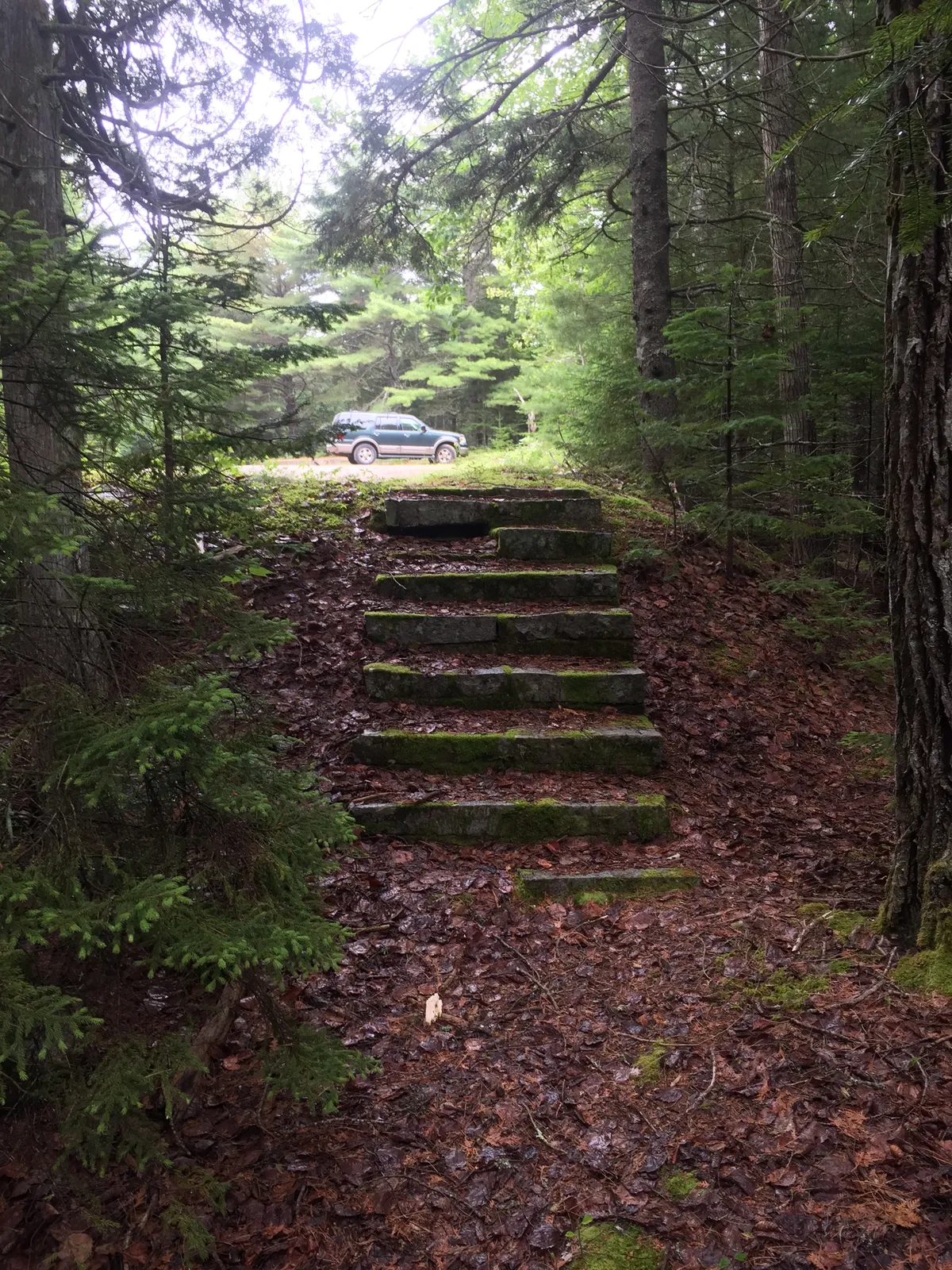
A short flight of eight stone steps rising through spruce woods toward the old parking loop
Eight stone steps climb from the Pine Hill trail to the west end of the parking loop, 15 Jul 2015
The 1941 master plan

Breeze's two plans

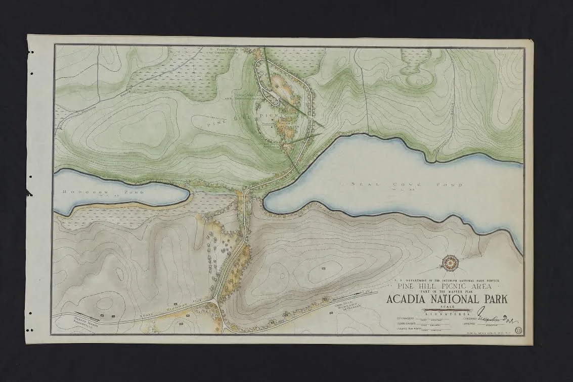
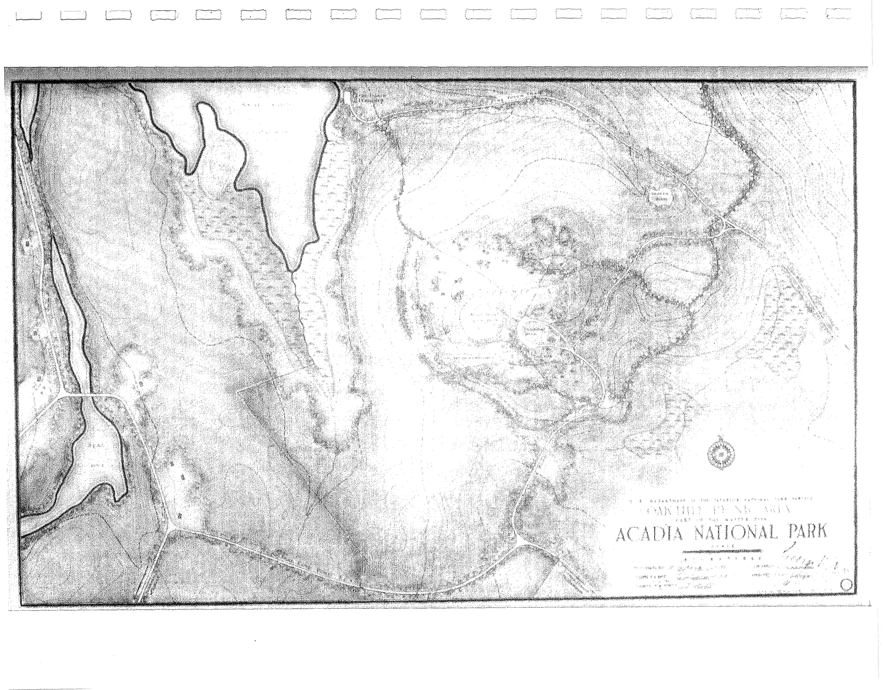
The Acadia master plan of 1941 includes a signed sheet for each picnic area. Some of Breeze's master plan drawings "simply documented existing conditions" (MPD), and since both picnic areas had been built about 1937, these sheets probably show them much as the CCC left them. Both show what the crew later found: a short entrance road ending in a loop, a shelter at the high point, fireplaces and tables, toilets and footpaths.

Hand-coloured 1941 plan of the Pine Hill Picnic Area, showing the loop road and picnic grounds on a hill between Hodgdon Pond and Seal Cove Pond
Pine Hill Picnic Area, part of the 1941 Master Plan, Acadia National Park. The loop and picnic grounds sit on the hill between Hodgdon Pond (left) and Seal Cove Pond, with the fire truck trail to Great Pond (Long Pond) at the top. Hand-coloured copy, from the Lost Trails files.
Black and white 1941 plan of the Oak Hill Picnic Area southeast of Seal Cove Pond, with the entrance road, parking loop and trails
Oak Hill Picnic Area, 1941 Master Plan, drawing 8. Entrance road, parking loop, "shelter with vista", tables, pit toilets and the Bald Mountain overlook trail. Scan from the NPS Multiple Property Documentation, Appendix B.

The Park Service described Pine Hill as the "simplest of tourist accommodations": "an access road, parking overlook, picnic area with fireplaces and table, shelter, comfort stations and circulatory path system." The 1941 plan asked for more toilets there. The CCC's list of half-log "bath houses" counts two at Pine Hill and one at Oak Hill (MPD, Appendix A).

Then and now

Two hilltops, 1.85 miles apart

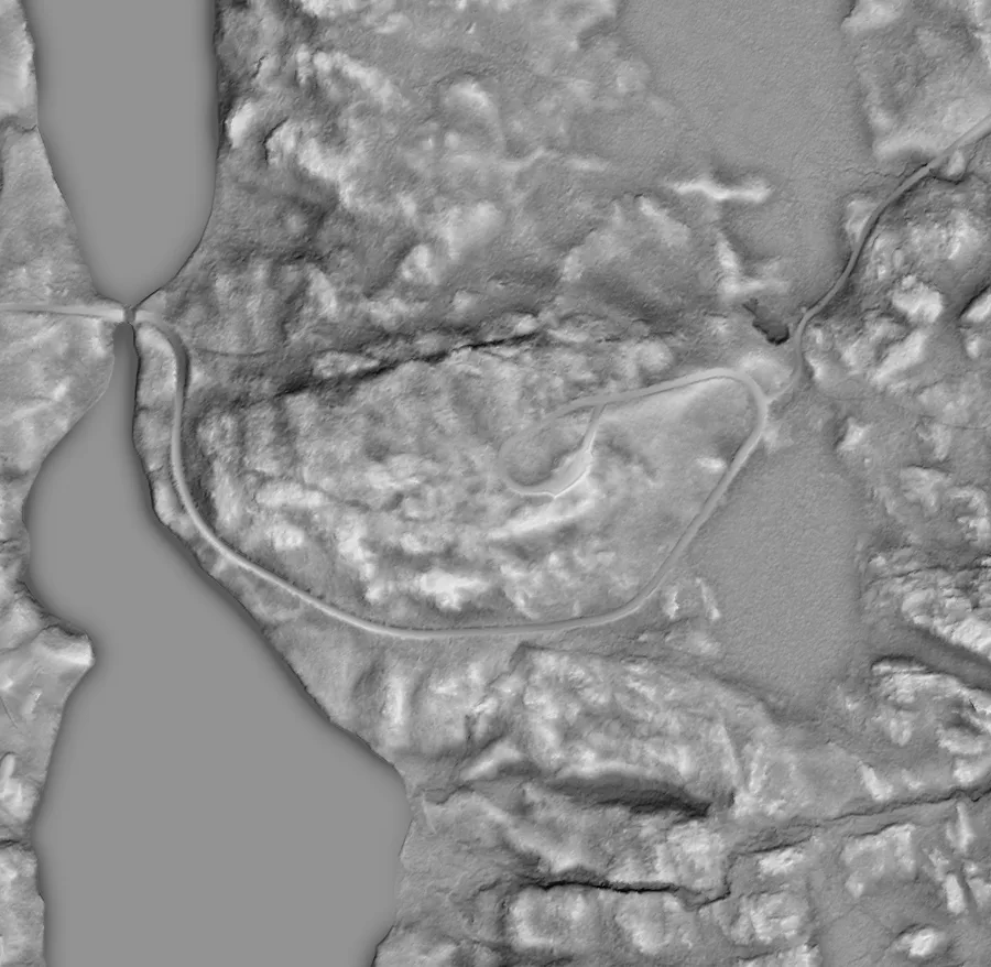
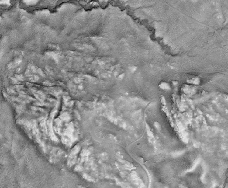
The pins mark each picnic area. The small dots are what the crew recorded there in 2011–2015: fireplaces, steps, walls, pits, curbstones and cairns. Switch the base to LiDAR to see the bare ground under the trees, where both parking loops still show clearly. Click any point for its field note.

Built feature Cairn or trail point Parking, road or junction 1.85 miles as the crow flies
Grey LiDAR hillshade of Pine Hill, with the teardrop-shaped parking loop on the hilltop and the fire road curving around it
Pine Hill in LiDAR: the teardrop loop sits on the hilltop, inside the curve of Long Pond Fire Road, with Hodgdon Pond and Seal Cove Pond to the left.
Grey LiDAR hillshade of Oak Hill, with a narrow loop road on the slope below the ledges
Oak Hill in LiDAR: the narrow parking loop and its entrance road below the ledges of Bald Mountain.
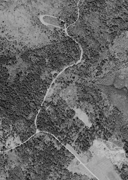
1944 black and white aerial photograph with a pale teardrop-shaped loop road at the top and a road winding down through the woods
Oak Hill from the air in 1944, seven years after it was built. The loop is the pale teardrop at the top.

LiDAR: USGS 3D Elevation Program, 1-metre DEM, Maine MidCoast 2021, public domain. Distance measured between the crew's Pine Hill and Oak Hill picnic-area waypoints.

North of Seal Cove Pond

Pine Hill

Built about 1937 · on the 1941 plan · shelter gone by 1966 · crew visits 2011, 2014, 2015

Pine Hill rises between Hodgdon Pond and the head of Seal Cove Pond, and the picnic road leaves Long Pond Fire Road to climb it. The loop is still a road: the federal park road inventory lists Pine Hill Road as a 0.17-mile gravel loop (FHWA route inventory). The Great Notch Trail comes down to the fire road "just past Pine Hill parking area" (National Register nomination).

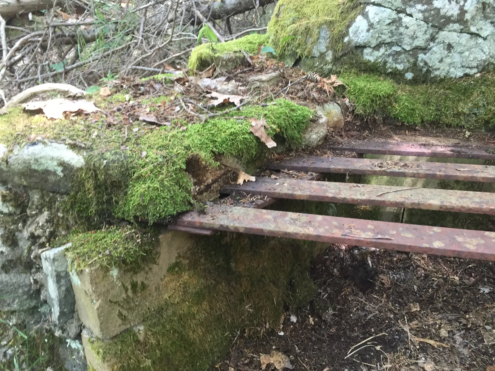
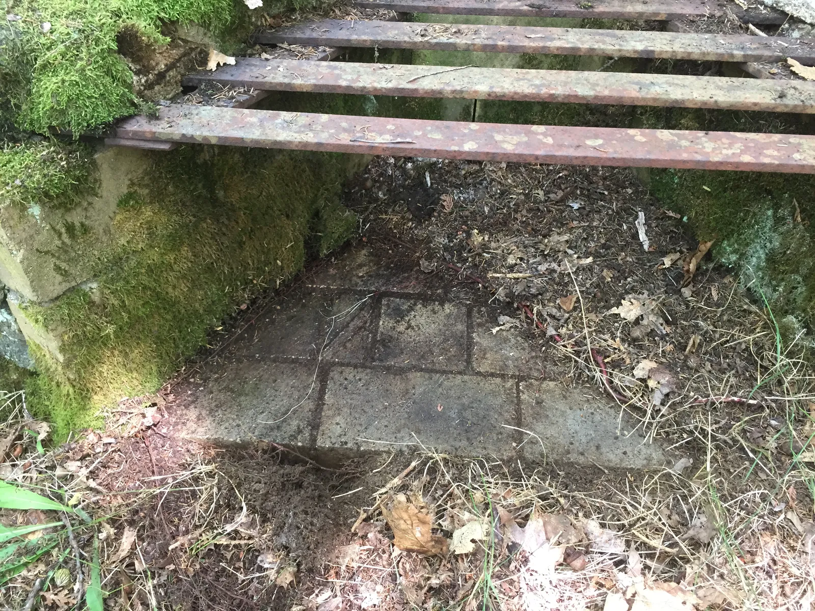
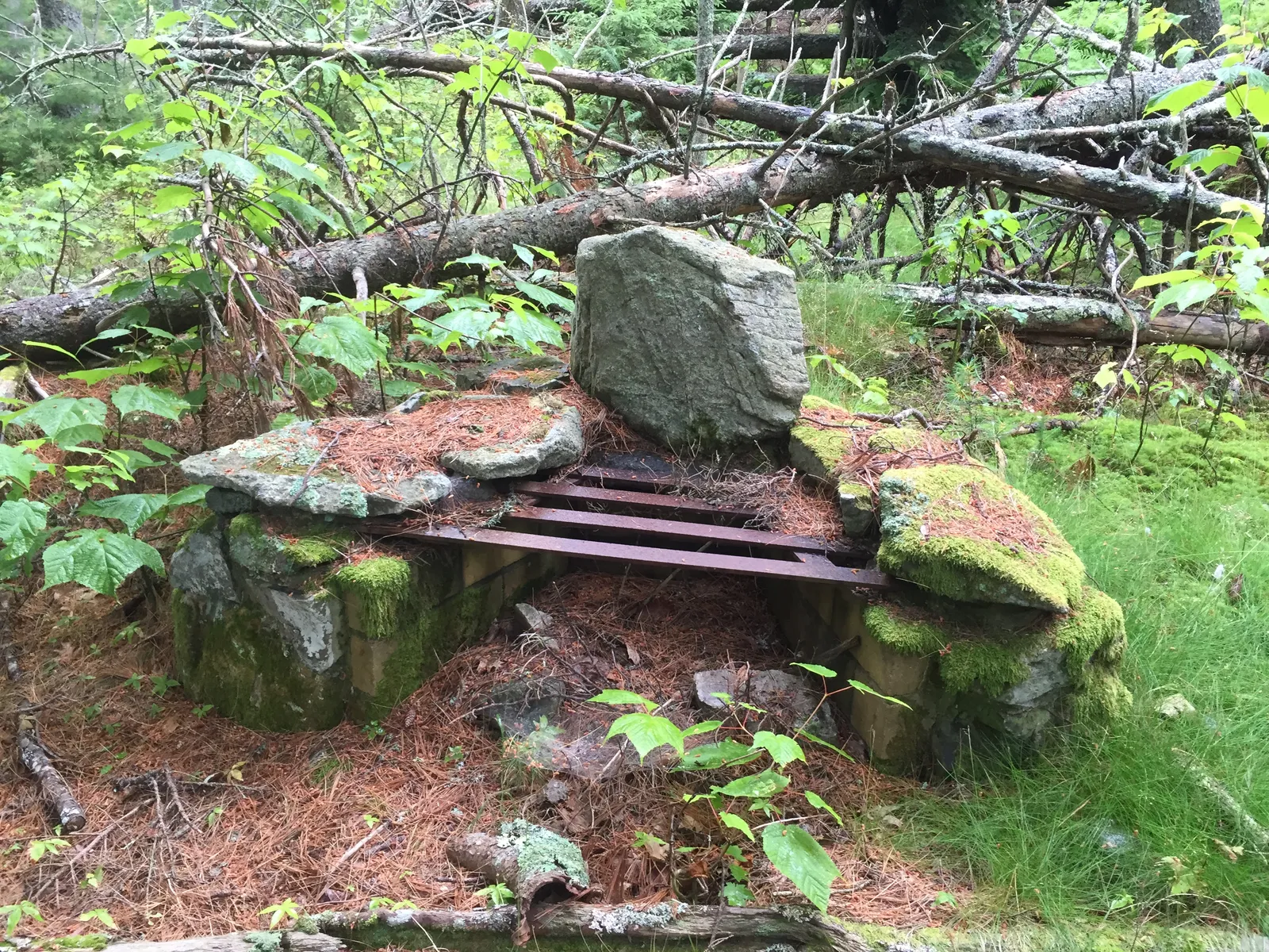
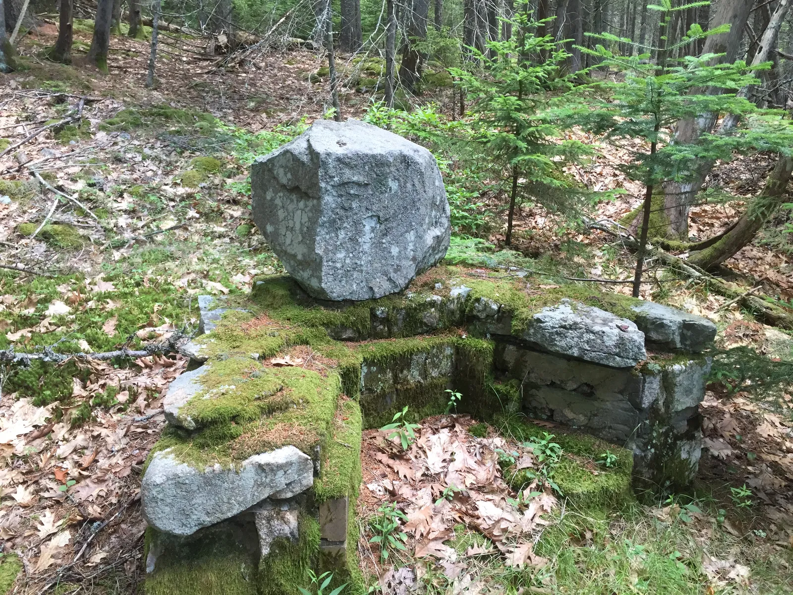
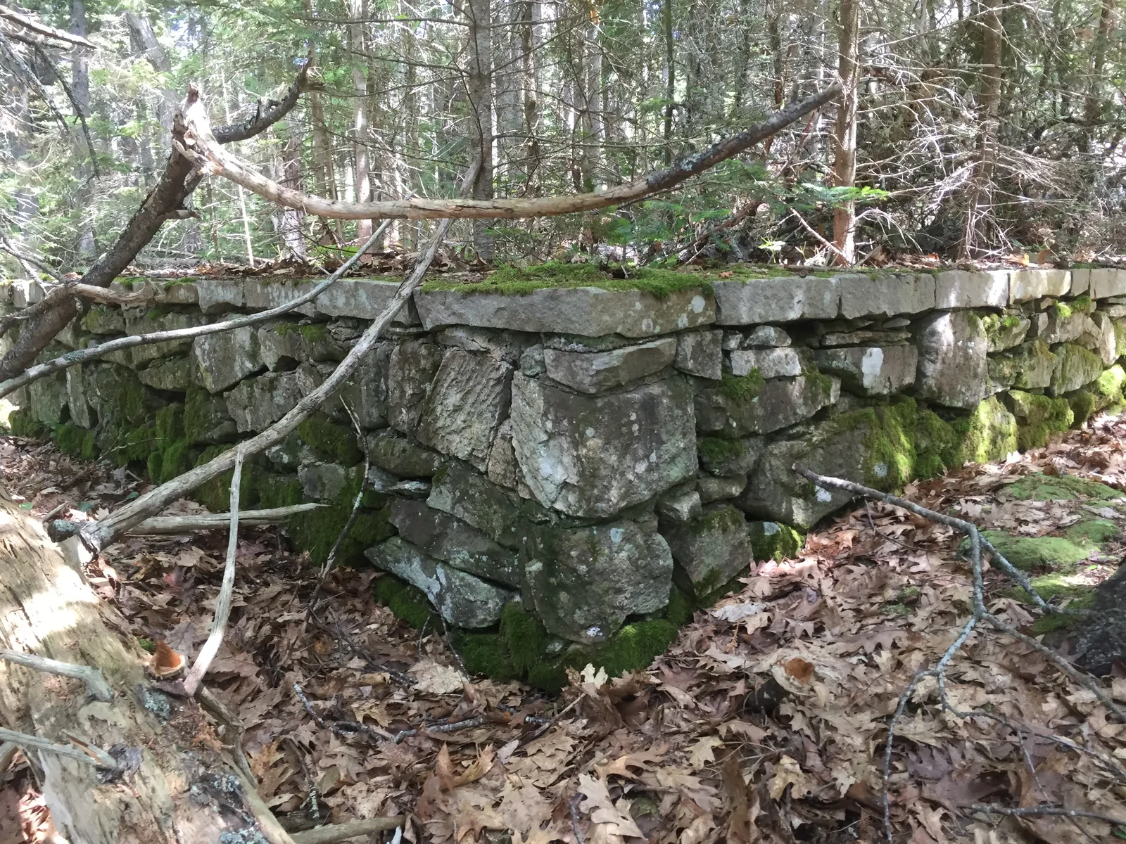
Walk off the west end of the parking area and down eight stone steps, and the picnic grounds open up along the slope. In July 2015 the crew counted six fireplaces, some with their iron grates and firebrick still in place, renumbering them as new ones turned up. Beyond them is the shelter platform, a dry-laid stone foundation about 18 by 21 feet with a pointed iron spike in one corner. Two rectangular toilet pits lie near the parking loop.

Found in the field · June 2014 and July 2015

  • Steps from the west end of the parking loop Show on map
  • Culvert, and a retaining wall carrying the trail Show on map
  • Fire grills 1 to 6 Show on map
  • The picnic shelter platform, 18 by 21 feet Show on map
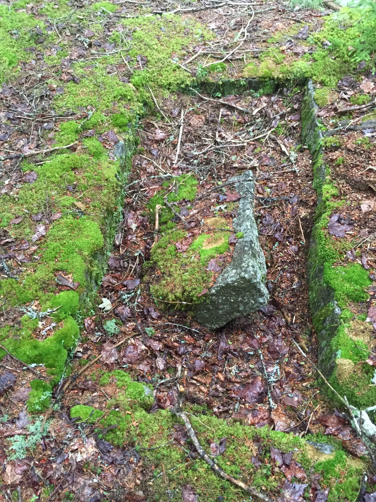
  • Toilet pits 1 and 2, about 28 by 72 inches Show on map
  • A red metal cardinal nailed to a dead tree Show on map
  • The Pine Hill Trail through the fireplaces, and its branch to Hodgdon Pond Show on map
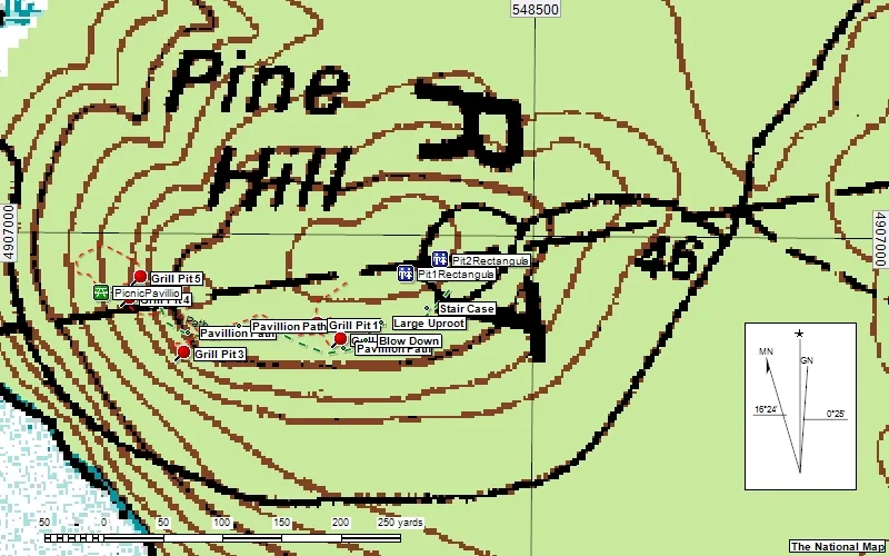
The crew's map of Pine Hill on a modern topographic base, with grill pits, pavilion, pavilion paths, staircase and two pits marked
The crew's 2015 working map of Pine Hill: grill pits, pavilion, pavilion paths, the staircase and two pits, on the National Map topo.
Close view of a rusted iron grate resting on granite blocks
Grate on a fireplace, 22 Jul 2015
Looking under a grate at the firebrick lining of a fireplace
Firebrick under the grate, 22 Jul 2015
A mossy stone fireplace with its grate among ferns and fallen branches
Another fireplace, 15 Jul 2015
A fireplace with a large pale boulder set as its back wall
A fireplace with a boulder for a back wall, 22 Jul 2015
A corner of the dry-laid stone platform of the Pine Hill picnic pavilion, capped with flat stones
A corner of the picnic pavilion, 22 Jul 2015
A long rectangular stone-lined pit filled with moss and leaves
A toilet pit, 15 Jul 2015
Southeast of Seal Cove Pond

Oak Hill

Built about 1937 · on the 1941 plan · shelter gone by 1966 · crew visits 2010–2015 and 2022

Oak Hill is a spur of Bald Mountain above the south end of Seal Cove Pond, off the western end of Western Mountain Road. Its plan shows an entrance road, a parking loop, a "shelter with vista", picnic tables, pit toilets and trails, among them the Bald Mountain overlook (MPD). The 1937 West Ledge Trail up Bernard Mountain starts "near the Oak Hill Picnic Area (no longer extant)" (National Register nomination).

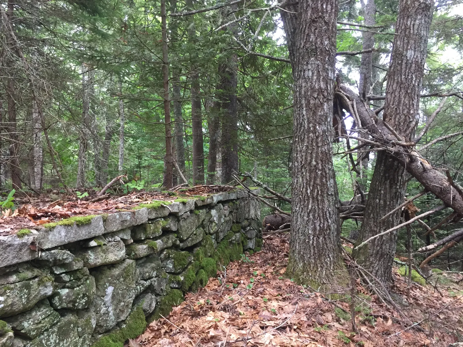
Here the woods have closed in further than at Pine Hill. The crew found the parking area by its curbstones and the entrance road by the stone walls on both sides of it. A path held up by a retaining wall circles the picnic ground, and a short climb leads to the Lookout, the high point at about 244 feet. Two fireplaces and a ring of stones survive, plus a rock pile without firebrick that may be a third fireplace taken apart. Along the south side runs an odd "fence-wall" of branchless logs laid on rock supports.

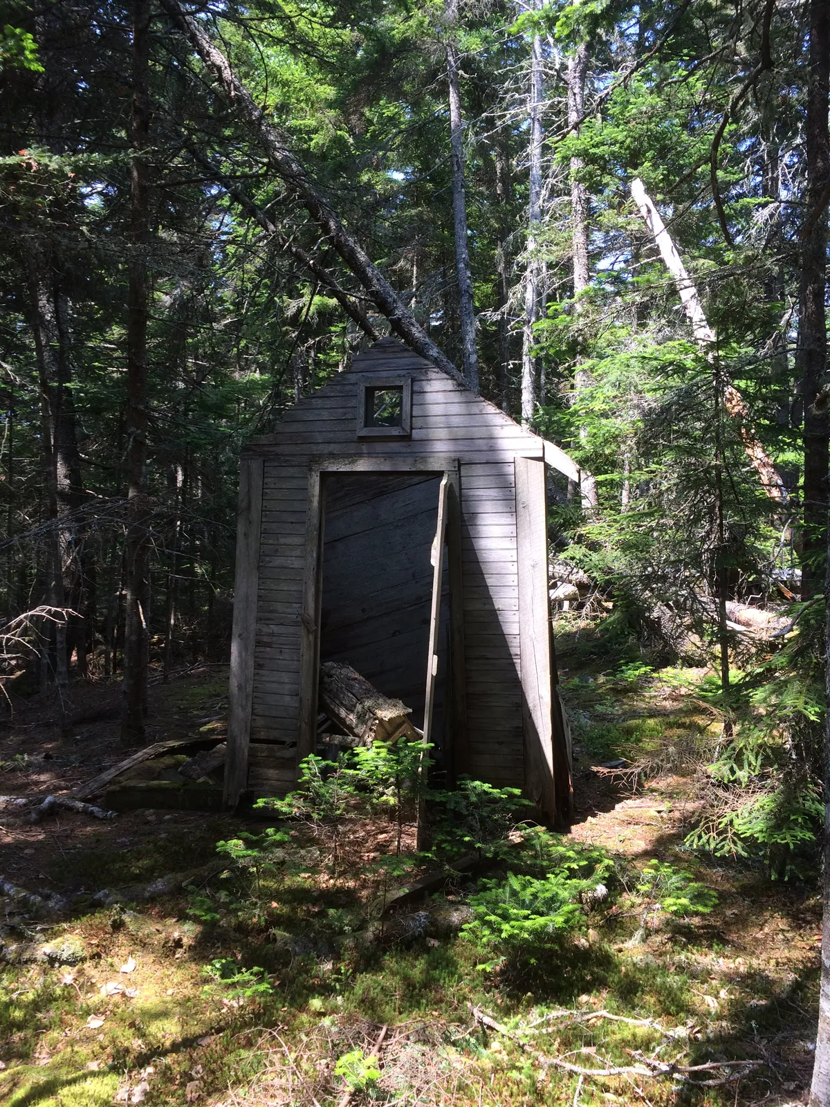
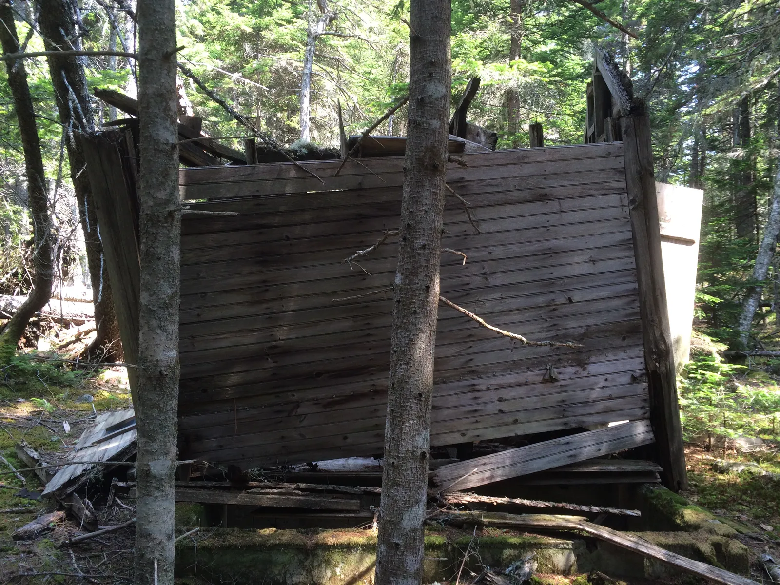
In July 2015 a wooden toilet building was still standing at the end of its own path, leaning and starting to fall in. It is not known whether it is the CCC's original or a later replacement.

Found in the field · 2010 to 2015

  • North and south ends of the parking area, by their curbstones Show on map
  • Stone walls on both sides of the entrance road Show on map
  • The picnic house site and a semicircular stone wall Show on map
  • Fireplaces 1 and 2, and a ring of stones Show on map
  • The Lookout, elevation 244 feet Show on map
  • The toilet building and its path Show on map
  • The log fence-wall on the south side Show on map
  • The Oak Hill Trail down to Seal Cove Pond Road, with cairns OH1 to OH16 found again in August 2015 Show on map
A small grey board-sided toilet building with a gable roof and a square window, standing in spruce woods
The Oak Hill toilet building, still standing on 7 Jul 2015
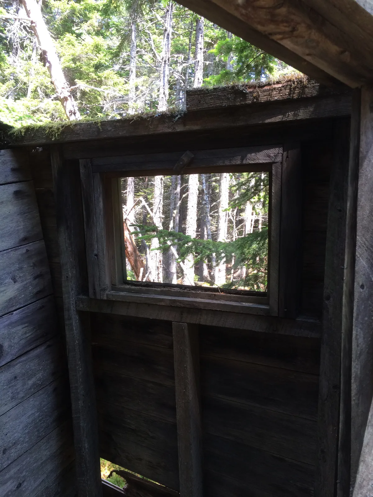
Inside the toilet building, looking at a square window in the board wall
Inside, looking out through the window, 7 Jul 2015
The board walls of the toilet building leaning and partly collapsed among trees
Its walls giving way, 7 Jul 2015
Why they faded

From picnic ground to woods

By the Mission 66 program of 1956–66, "some CCC-era structures were demolished... including picnic shelters at Oak Hill and Pine Hill" (NPS, Building Acadia National Park). Writing around 2005, the Park Service described both sites as a "gravel access loop road, picnic sites, remnants of CCC-built overlook shelters, and fireplaces" (MPD). Today the park lists five picnic areas on Mount Desert Island, and neither of these is among them (NPS, Eating and Picnicking).

The records we have found do not say why they were given up. A fair guess is that after the war, visitors came in bigger numbers and in cars, and the park put its money into larger areas on paved roads, such as Seawall, rather than into small hilltop loops at the end of gravel fire roads. If you know the year either site closed, or have a photograph of a family picnic there, please get in touch.

Low dry-laid stone platform of the Pine Hill shelter among leaves and young trees
All that is left of the Pine Hill shelter, 18 Jul 2015
Timeline

From CCC camp to cellar of leaves

  1. 1933CCC camp NP-2, Company 158, opens on Long Pond. Benjamin Breeze becomes Acadia's resident landscape architect.
  2. 18 Jan 1937Below Oak Hill, the United States buys Lots 87 and 88 on Seal Cove Road from Fred Walls, old Norwood and Kelley farmland (Hancock County deeds 655/274, from the crew's deed research).
  3. About 1937The CCC builds the Pretty Marsh, Oak Hill and Pine Hill picnic areas.
  4. 1941Breeze's master plan includes signed sheets for Oak Hill and Pine Hill. Camp NP-2 closes.
  5. 1944An aerial photograph shows the Oak Hill loop, open and clear of trees.
  6. 1956–66Mission 66: the shelters at both sites are demolished.
  7. 2010–2015The Lost Trails crew finds the loops, fireplaces, steps, walls, pits and the Oak Hill toilet building.
  8. TodayPine Hill Road is still on the park's road inventory as a 0.17-mile gravel loop; neither site is on the park's picnic list.

Walk lightly

Pine Hill is reached from Long Pond Fire Road and the Great Notch trailhead. Oak Hill is off the western end of Western Mountain Road, near Seal Cove Road; the woods south and west of it, toward the pond, include private land, so keep to the park side. These are protected cultural sites. Look and take photographs, but don't move stones, grates or anything else, and don't light fires in the old fireplaces.

Sources and credits

Where this comes from

  1. U.S. National Park Service. Historic Resources of Acadia National Park, Multiple Property Documentation Form (about 2005), including Appendix A (CCC work list) and Appendix B (1941 master plan drawings). npshistory.com/publications/acad/mpd.pdf
  2. U.S. National Park Service. Building Acadia National Park. nps.gov/acad/learn/historyculture/building.htm
  3. U.S. National Park Service. Historic Campgrounds. nps.gov/acad/learn/historyculture/historic-campgrounds.htm
  4. U.S. National Park Service. Eating and Picnicking. nps.gov/acad/planyourvisit/eating.htm
  5. National Register of Historic Places registration form, Mount Desert Island Hiking Trail System (Friends of Acadia copy). friendsofacadia.org
  6. Federal Highway Administration. Acadia National Park route inventory, cycle 6. fhfl15gisweb.flhd.fhwa.dot.gov
  7. U.S. Geological Survey. 3D Elevation Program, 1-metre DEM, Maine MidCoast 2021. usgs.gov/3d-elevation-program
  8. Hancock County Registry of Deeds, Lots 87 and 88, Seal Cove Road, as abstracted by the Lost Trails crew.

Field photographs by Les Heilakka, July 2015. The hand-coloured Pine Hill plan and the 1944 aerial photograph are copies in the Lost Trails files. Field notes and GPS points by the Lost Trails crew, 2010–2022.