A Path Guide of Mount Desert Island, Maine
“To be used in connection with the official path maps.” Compiled by Waldron Bates, Edward L. Rand and Herbert Jaques and published by the Village Improvement Societies of Bar Harbor, Seal Harbor, Northeast and Southwest Harbor — the first guide to the whole island trail system.
How the island was walked in 1915
The guide is a pocket companion to the Bates, Rand and Jaques path maps. It does not try to be complete; it sets out, district by district, the “many combinations of trails and water trips that the path map makes possible.”
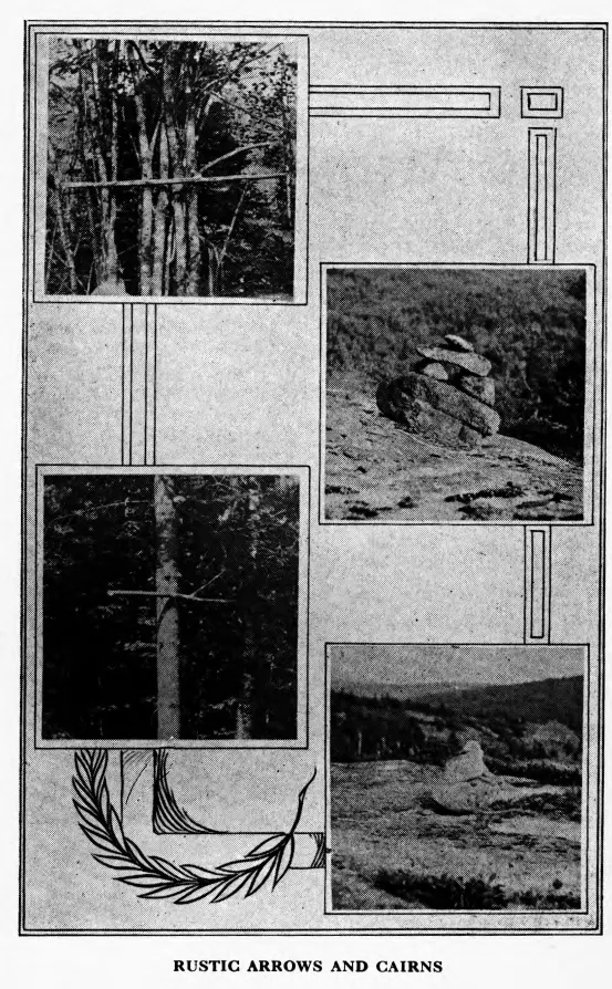
The paths are marked at their entrances and crossings by signs suitably inscribed, by rustic arrows cut from bushes, and by “cairns,” i. e., piles of stones… It is particularly requested that none of these be altered in any way.
That request still stands — the park asks the same of hikers today. The guide also reminds readers that the paths cross private land whose owners “may at any time exercise their legal right to close them to the public.”
The title page reads 1915. The dedication is dated September 1916, and the Northeast Harbor section records district boundaries agreed by the four path committees on July 29, 1914. The title page spells the third compiler “Jacques.”
Read the guide
Thirty two-page spreads from the original. Use the arrow keys, or jump to a district.
Search the text
Machine-transcribed from the scan, so expect the odd misread letter. Every hit opens the page it came from.
Index of routes
The guide numbers its walks district by district. Where a route name matches tracks in this atlas, follow it straight to the map.
| No. | Route (1915) | District | Page | In the Atlas |
|---|